
- Start >
- Groundwater >
- Waterlevel of upper layer >
- Bayern >
- Flussraummanagement Vils, MQS 03-L (ML03) >
- Master data

Master data Flussraummanagement Vils, MQS 03-L (ML03)
Site number: 42128
Measuring point system: Staatliches Sondernetz
Community: Frontenhausen
District: Dingolfing-Landau
Operator:  Wasserwirtschaftsamt Landshut
Aquifer:
Measurement site depth under ground: 5.00 m
Ground level: 407.00 m above sealevel
Easting: 760506 (ETRS89 / UTM Zone 32N)
Northing: 5383879
Observation period: 20.10.2005 to 25.03.2026
Hauptwerte (Tagesmittelwerte):
Maximum waterlevel (HHW): 407.13 m above sealevel
Mean waterlevel (MW): 405.75 m above sealevel
Minimum waterlevel (NNW): 405.38 m above sealevel
Mean Highest Groundwater Level (MHGW): 406.65 m above sealevel (Period: 01.11.2004 - 01.11.2026)
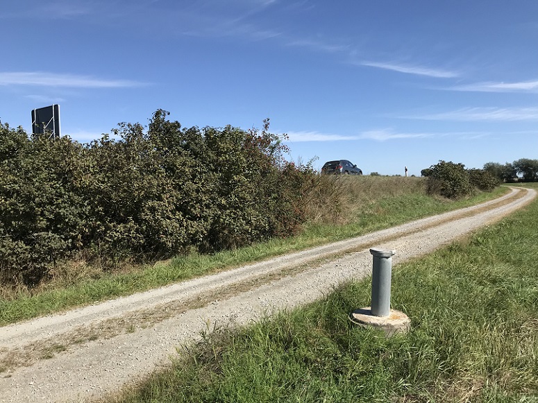
Picture of the measurement site
Location of the station Flussraummanagement Vils, MQS 03-L (ML03)
| Measurement site | Category |
|---|---|
 Grafentraubach Grafentraubach | Rivers: Runoff, Waterlevel |
| Landau | Rivers: Runoff, Waterlevel, Water temperature, Water temperature |
| Wallersdorf | Rivers: Runoff, Waterlevel |
| Aham | Rivers: Runoff, Waterlevel |