
- Start >
- Rivers >
- Discharge >
- Bayern >
- Grafentraubach >
- Master data

Master data Grafentraubach
Site number: 15422500
District: Straubing-Bogen
Operator:  Wasserwirtschaftsamt Deggendorf
Body of water: Kleine Laber
Catchment: 243.20 km2
River chainage: 29.30 km
Easting: 742421 (ETRS89 / UTM Zone 32N)
Northing: 5409678
Gauge zero point: 364.94 m NHN (DHHN2016)
Picture of the measurement site
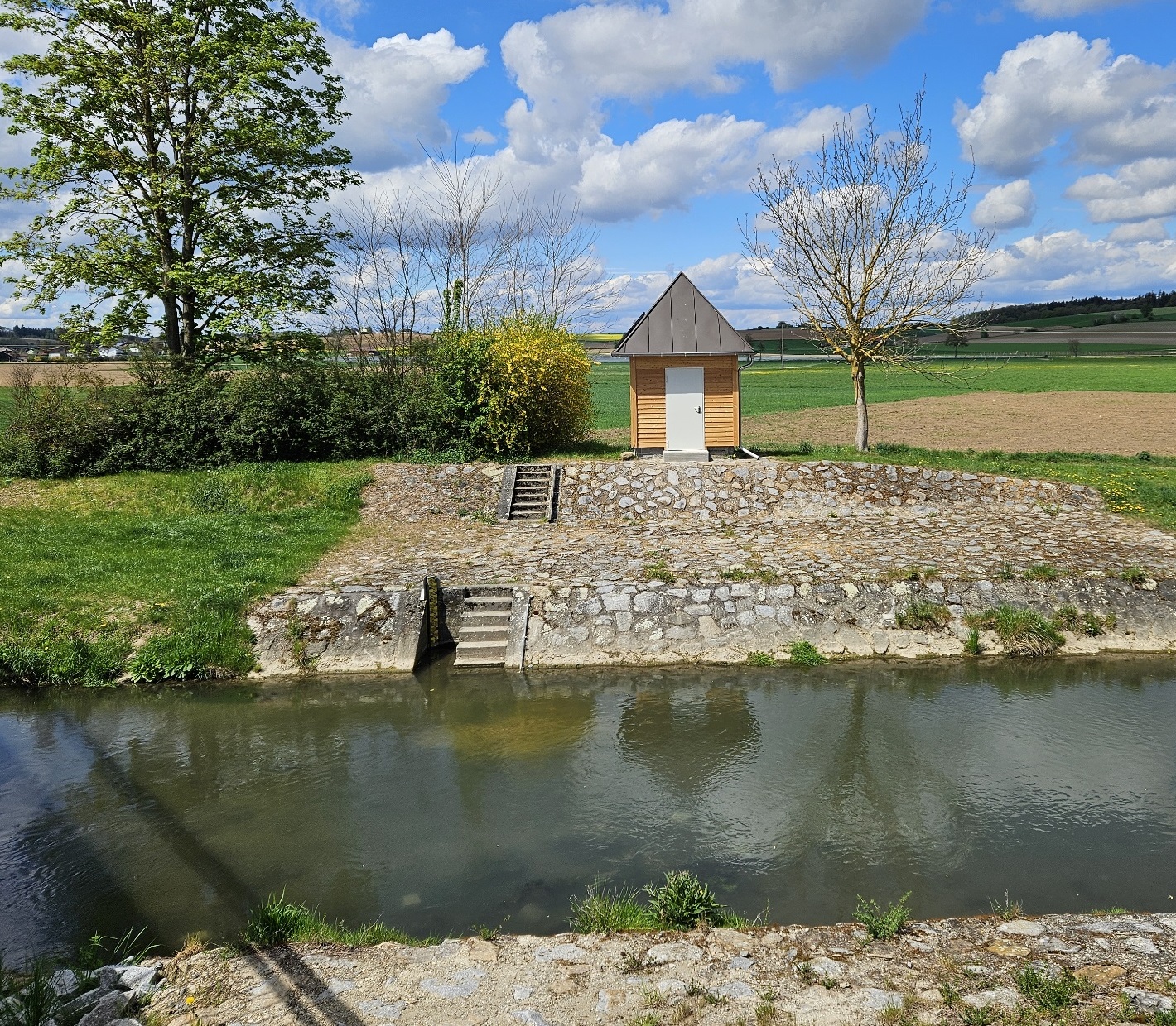
Location of the station Grafentraubach / Kleine Laber
| Measurement site | Category |
|---|---|
 Köfering Köfering | Rivers: Runoff, Waterlevel |
| Grafentraubach | Rivers: Runoff, Waterlevel |
| Schwabelweis | Rivers: Runoff, Waterlevel, Water temperature, Water temperature |
| Landshut Flutmulde | Rivers: Runoff, Waterlevel |
© Bayerisches Landesamt für Umwelt 2024