
- Start >
- Rivers >
- Discharge >
- Bayern >
- Wallersdorf >
- Master data

Master data Wallersdorf
Site number: 16965001
District: Dingolfing-Landau
Operator:  Wasserwirtschaftsamt Deggendorf
Body of water: Reißingerbach
Catchment: 87.30 km2
River chainage: 10.30 km
Easting: 775324 (ETRS89 / UTM Zone 32N)
Northing: 5404971
Gauge zero point: 329.24 m NHN (DHHN2016)
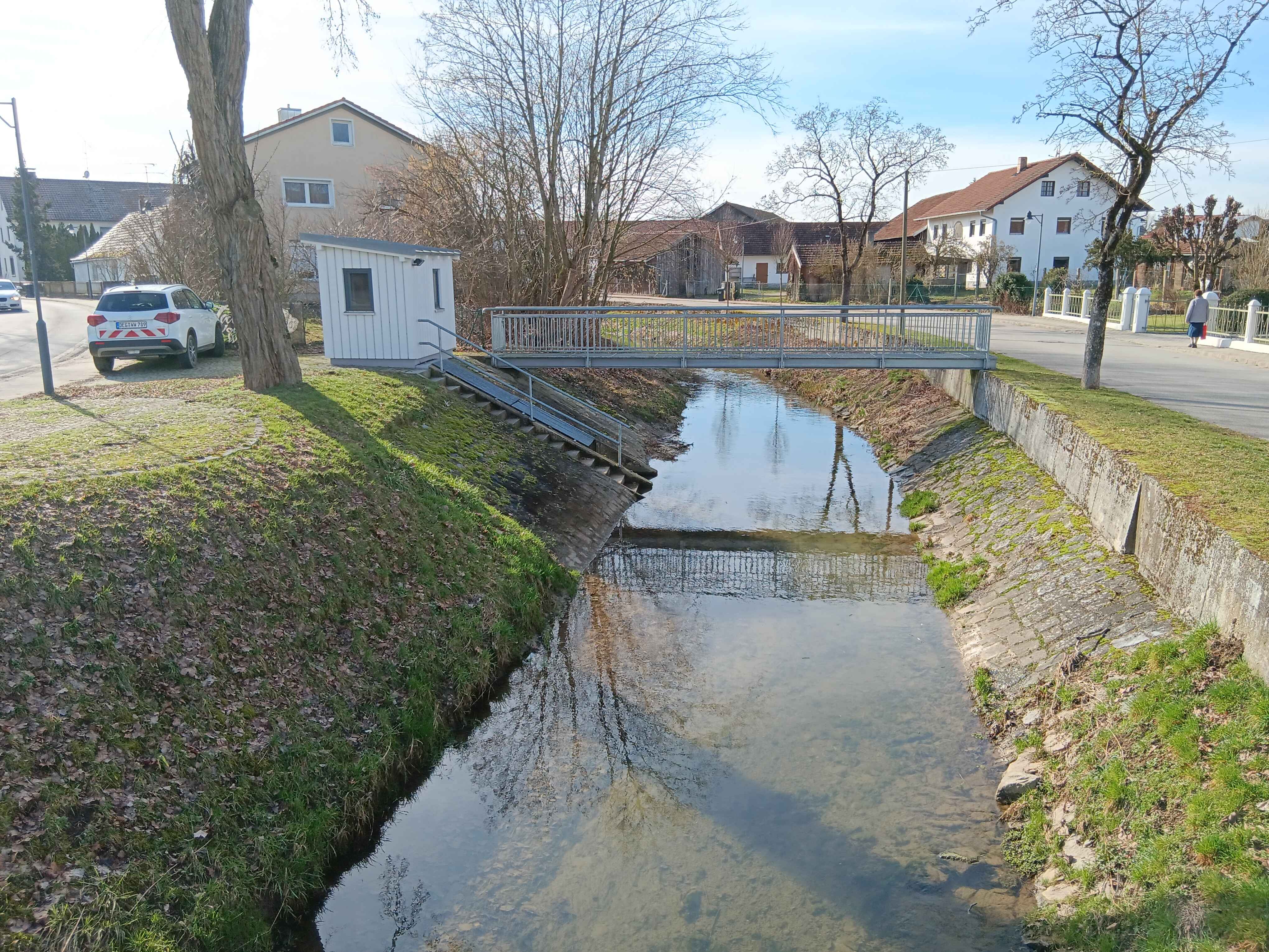
Picture of the measurement site
Location of the station Wallersdorf / Reißingerbach
| Measurement site | Category |
|---|---|
 Pfelling Pfelling | Rivers: Runoff, Waterlevel |
| Salching | Rivers: Runoff, Waterlevel |
| Haberkofen | Rivers: Runoff, Waterlevel |
| Deggendorf | Rivers: Runoff, Waterlevel |
© Bayerisches Landesamt für Umwelt 2024