
- Start >
- Groundwater >
- Waterlevel of deep layer >
- Bayern >
- Lohhof GS2 >
- Master data

Master data Lohhof GS2
Site number: 9292
Measuring point system: Grundnetz
Community: Mindelheim
District: Unterallgäu
Operator:  Wasserwirtschaftsamt Kempten
Aquifer: Obere Süßwassermolasse
Measurement site depth under ground: 134.30 m
Ground level: 577.01 m above sealevel
Easting: 610212 (ETRS89 / UTM Zone 32N)
Northing: 5327532
Observation period: 07.12.1994 to 02.05.2026
Hauptwerte (Tagesmittelwerte):
Maximum waterlevel (HHW): 538.03 m above sealevel
Mean waterlevel (MW): 537.66 m above sealevel
Minimum waterlevel (NNW): 537.37 m above sealevel
Mean Highest Groundwater Level (MHGW): 537.81 m above sealevel (Period: 01.11.1994 - 01.11.2026)
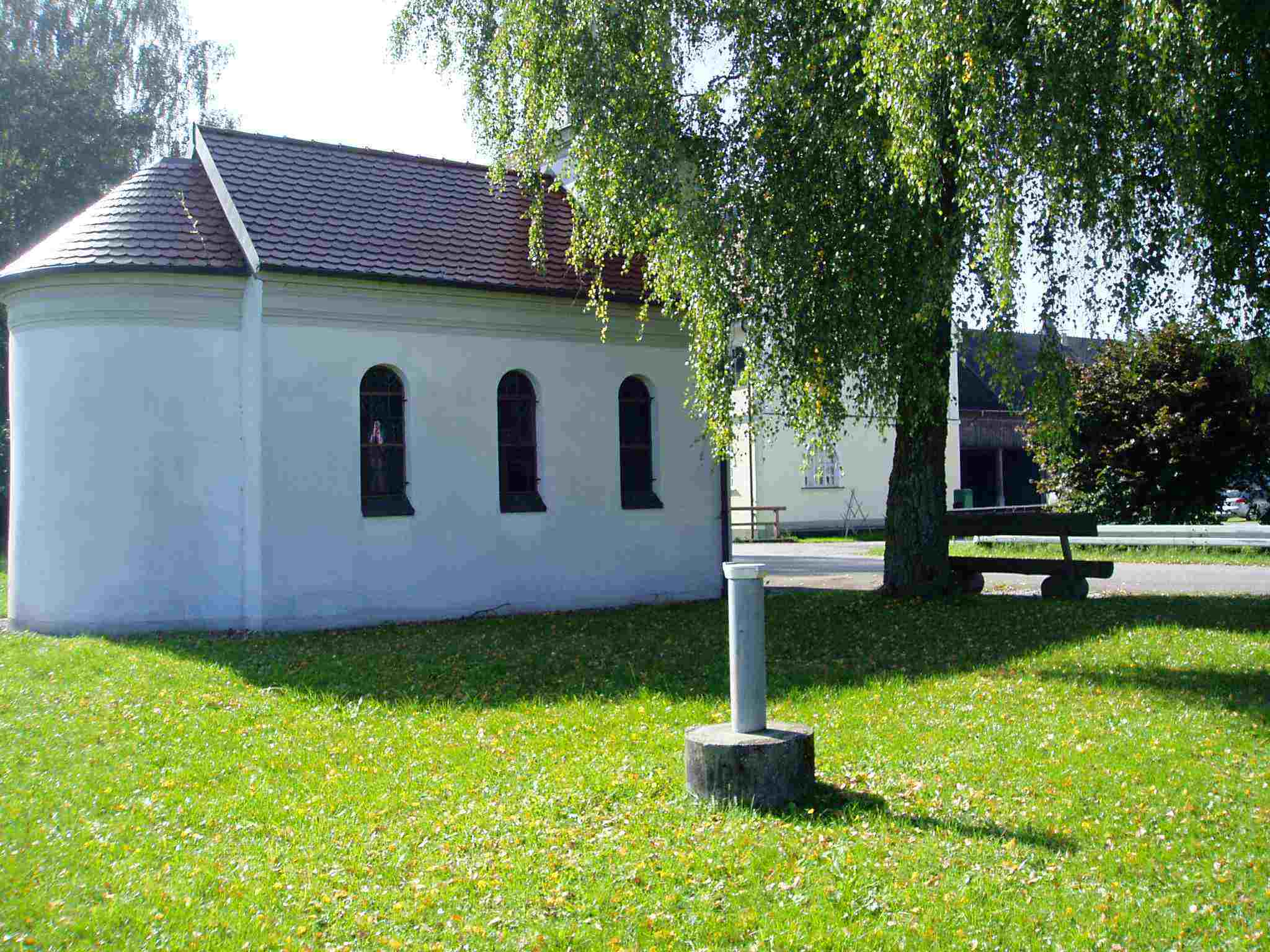
Picture of the measurement site
Location of the station Lohhof GS2
| Measurement site | Category |
|---|---|
 Lauben Lauben | Rivers: Runoff, Waterlevel |
| Nattenhausen | Rivers: Runoff, Waterlevel |
| Dirlewang HRB Abfluss | Rivers: Runoff |
| Hasberg | Rivers: Runoff, Waterlevel |