
- Start >
- Groundwater >
- Waterlevel of deep layer >
- Bayern >
- ALTDORF TIEFBOHRUNG >
- Master data

Master data ALTDORF TIEFBOHRUNG
Site number: 15994
Measuring point system: Staatliches Sondernetz
Community: Altdorf
District: Landshut
Operator:  Wasserwirtschaftsamt Landshut
Aquifer: Weißer Jura / Malmkarst
Measurement site depth under ground: 465.00 m
Ground level: 406.78 m above sealevel
Easting: 729197 (ETRS89 / UTM Zone 32N)
Northing: 5383646
Observation period: 22.03.2002 to 20.05.2026
Hauptwerte (Tagesmittelwerte):
Maximum waterlevel (HHW): 378.25 m above sealevel
Mean waterlevel (MW): 377.58 m above sealevel
Minimum waterlevel (NNW): 376.96 m above sealevel
Mean Highest Groundwater Level (MHGW): 377.75 m above sealevel (Period: 01.11.2001 - 01.11.2026)
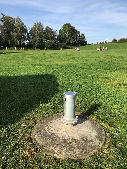
Picture of the measurement site
Location of the station ALTDORF TIEFBOHRUNG
| Measurement site | Category |
|---|---|
 Rottenburg Rottenburg | Rivers: Runoff, Waterlevel |
| Grafentraubach | Rivers: Runoff, Waterlevel |
| Moosburg | Rivers: Runoff, Waterlevel |
| Landshut Birket | Rivers: Runoff, Waterlevel, Water temperature, Water temperature, Suspended sediment |