
- Start >
- Groundwater >
- Waterlevel of upper layer >
- Bayern >
- Heinrichsthal S 7 >
- Master data

Master data Heinrichsthal S 7
Site number: 4174
Measuring point system: Grundnetz
Community: Heinrichsthal
District: Aschaffenburg
Operator:  Wasserwirtschaftsamt Aschaffenburg
Aquifer: Unterer Buntsandstein
Measurement site depth under ground: 40.00 m
Ground level: 381.94 m above sealevel
Easting: 526040 (ETRS89 / UTM Zone 32N)
Northing: 5547810
Observation period: 03.11.1999 to 05.12.2025
Hauptwerte (Tagesmittelwerte):
Maximum waterlevel (HHW): 379.96 m above sealevel
Mean waterlevel (MW): 375.71 m above sealevel
Minimum waterlevel (NNW): 367.65 m above sealevel
Mean Highest Groundwater Level (MHGW): 378.65 m above sealevel (Period: 01.11.1999 - 01.11.2026)
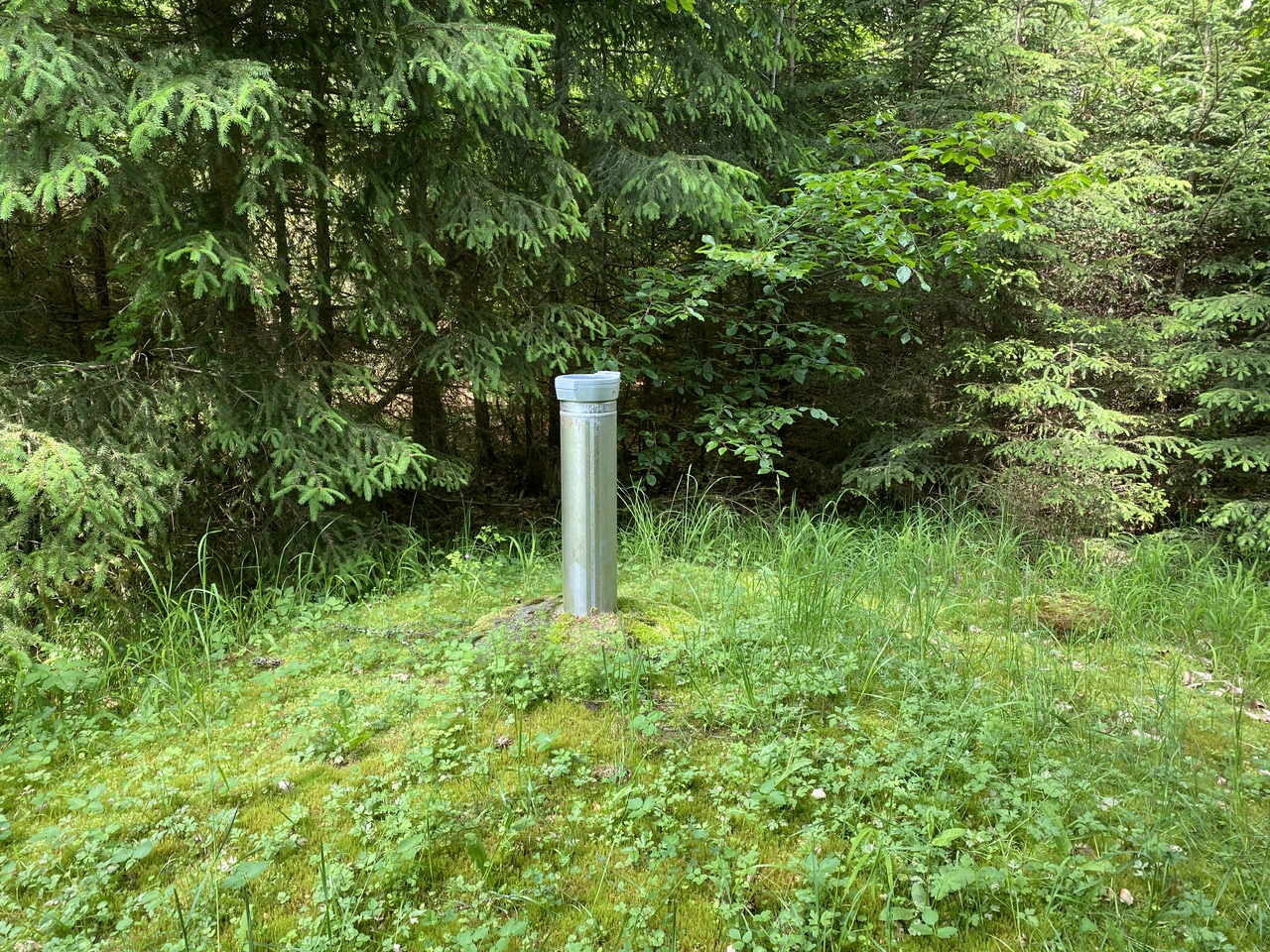
Picture of the measurement site
Location of the station Heinrichsthal S 7
| Measurement site | Category |
|---|---|
 Steinbach Steinbach | Rivers: Runoff, Waterlevel, Water temperature, Water temperature |
| Steinbach Q | Rivers: Runoff |
| Frammersbach | Rivers: Runoff, Waterlevel |
| Partenstein | Rivers: Runoff, Waterlevel |