
- Start >
- Groundwater >
- Waterlevel of upper layer >
- Bayern >
- Heinrichsthal S 7 >
- Master data

Master data Heinrichsthal S 7
Site number: 4174
Measuring point system: Grundnetz
Community: Heinrichsthal
District: Aschaffenburg
Operator:  Wasserwirtschaftsamt Aschaffenburg
Aquifer: Unterer Buntsandstein
Measurement site depth under ground: 40.00 m
Ground level: 381.94 m above sealevel
Easting: 526040 (ETRS89 / UTM Zone 32N)
Northing: 5547810
Observation period: 03.11.1999 to 11.04.2026
Hauptwerte (Tagesmittelwerte):
Maximum waterlevel (HHW): 379.96 m above sealevel
Mean waterlevel (MW): 375.70 m above sealevel
Minimum waterlevel (NNW): 367.65 m above sealevel
Mean Highest Groundwater Level (MHGW): 378.92 m above sealevel (Period: 01.11.1999 - 01.11.2026)
Picture of the measurement site
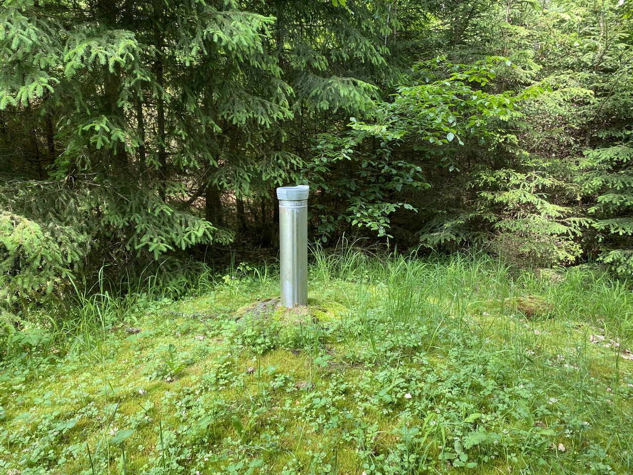
Location of the station Heinrichsthal S 7
| Measurement site | Category |
|---|---|
 Steinbach Steinbach | Rivers: Runoff, Waterlevel, Water temperature, Water temperature |
| Steinbach Q | Rivers: Runoff |
| Frammersbach | Rivers: Runoff, Waterlevel |
| Partenstein | Rivers: Runoff, Waterlevel |
| Hafenlohr | Rivers: Runoff, Waterlevel |
| Bischbrunn | Rivers: Runoff, Waterlevel |
| Hobbach | Rivers: Runoff, Waterlevel |
| Goldbach | Rivers: Runoff, Waterlevel |
| Schöllkrippen | Rivers: Runoff, Waterlevel |
| Obernau | Rivers: Waterlevel, Water temperature, Water temperature |
| Breitfurt | Rivers: Water temperature, Water temperature |
| Auberg, oh Partenstein | Rivers: Chemistry, Biology |
| km 0,12 Steg oh Mündung in den Main | Rivers: Chemistry |
| SH Wallstadt km 102,56 KW OW | Rivers: Chemistry |
| oh KA Aschafftalgemeinden, km 13.1 | Rivers: Chemistry, Biology |
| oberhalb Bahnlinie | Rivers: Chemistry, Biology |
| uh Umgehstr.-Elsenfeld, Km 1.6 | Rivers: Chemistry, Biology |
| oh Dyroffstr., km 4,8 | Rivers: Chemistry, Biology |
| in Hösb., uh. Schützenhaus | Rivers: Chemistry, Biology |
| oh. Mdg. d. Reichenb., Km 20,4 | Rivers: Chemistry, Biology |
| Rothenfels KW-OW | Rivers: Chemistry, Biology |
| ca 1km oh Bahnbrückenmühle | Rivers: Chemistry, Biology |
| km 10,95 uh Frammersbach | Rivers: Chemistry, Biology |
| oh Krausenb., oh Forsth. | Rivers: Chemistry |
| Grundwasserversauerung | Rivers: Biology |
| SH Lengfurt km 183,6 | Rivers: Biology |
| Haardtquellen Niedersteinbach | Groundwater: Flow of well |
| Brunnenquelle Mittelsinn 2/5 | Groundwater: Flow of well, Temperature of springs |
| SR/GW SPESSART 01 | Groundwater: Upper groundwater layer |
| Rohrbrunn S 1 | Groundwater: Upper groundwater layer |
| Grosswallstadt PB 4 | Groundwater: Deep groundwater layer |
| Dammbach S 2 | Groundwater: Upper groundwater layer |
| RUECK 178 | Groundwater: Deep groundwater layer |
| HEINRICHSTAL BO A | Groundwater: Upper groundwater layer |
| NIEDERNBERG FB | Groundwater: Upper groundwater layer |
| LOHR A. MAIN/FARBMUEH. | Groundwater: Upper groundwater layer |
| Metzenbachquelle | Groundwater: Flow of well, Temperature of springs |
| WAGENMUEHLE B | Groundwater: Upper groundwater layer |
| Lauterbrunnenquelle | Groundwater: Flow of well |
| Fellen S 4 | Groundwater: Upper groundwater layer |
| Weibersbrunn S 4 | Groundwater: Upper groundwater layer |
| Heinrichsthal S 7 | Groundwater: Upper groundwater layer |
| 1131602200016 | Groundwater: Chemistry |
| 4110602000017 | Groundwater: Chemistry |
| 4110602100007 | Groundwater: Chemistry |
| 4110602300002 | Groundwater: Chemistry |
| 4110612000021 | Groundwater: Chemistry |
| 4120582300009 | Groundwater: Chemistry |
| 4120592100007 | Groundwater: Chemistry |
| 4120592200019 | Groundwater: Chemistry |
| 4120592300023 | Groundwater: Chemistry |
| 4120592300029 | Groundwater: Chemistry |
| 4120602200007 | Groundwater: Chemistry |
| 4120612100041 | Groundwater: Chemistry |
| 4120612200016 | Groundwater: Chemistry |
| 4120602200004 | Groundwater: Chemistry |
| 1131582300072 | Groundwater: Chemistry |
| 4120612000031 | Groundwater: Chemistry |
| 1131612300027 | Groundwater: Chemistry |
| 4120612300090 | Groundwater: Chemistry |
| Bischbrunn | Meteorology: Precipitation, Air temperatur, Air moisture |
| Schöllkrippen | Meteorology: Precipitation, Wind, Air temperatur, Air moisture, Global radiation |