
- Start >
- Rivers >
- Waterlevel >
- Naab - Regen >
- Pfrentsch >
- Chart of year

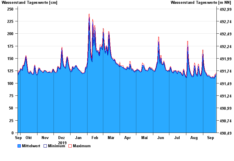
Chart of year Pfrentsch / Pfreimd
Waterlevel from 26.09.2019 to 25.09.2020
- 14.01.2011 Wasserstand: 311 cm
- 03.06.2013 Wasserstand: 310 cm
- 20.01.2012 Wasserstand: 283 cm
- 24.12.2012 Wasserstand: 273 cm
- 17.12.2011 Wasserstand: 256 cm
| Date | Mean value [cm] | Maximum [cm] | Minimum [cm] |
|---|---|---|---|
| 25.09.2020 | 119 | 121 | 114 |
| 24.09.2020 | 114 | 115 | 113 |
| 23.09.2020 | 116 | 118 | 115 |
| 22.09.2020 | 112 | 116 | 110 |
| 21.09.2020 | 111 | 111 | 110 |
| 20.09.2020 | 111 | 112 | 110 |
| 19.09.2020 | 113 | 114 | 111 |
© Bayerisches Landesamt für Umwelt 2024