
- Start >
- Rivers >
- Waterlevel >
- Naab - Regen >
- Pfrentsch >
- Chart of year

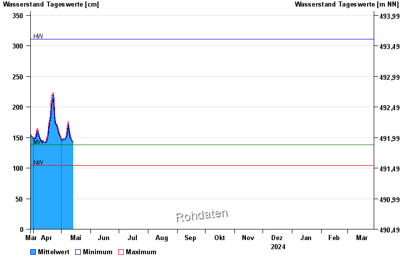
Chart of year Pfrentsch / Pfreimd
Waterlevel from 29.03.2024 to 28.03.2025
| Date | Mean value [cm] | Maximum [cm] | Minimum [cm] |
|---|---|---|---|
| 06.06.2024 | 195 | 197 | 193 |
| 05.06.2024 | 209 | 223 | 197 |
| 04.06.2024 | 236 | 249 | 223 |
| 03.06.2024 | 257 | 260 | 249 |
| 02.06.2024 | 248 | 258 | 235 |
| 01.06.2024 | 225 | 235 | 219 |
| 31.05.2024 | 228 | 238 | 220 |
© Bayerisches Landesamt für Umwelt 2024