
- Start >
- Rivers >
- Waterlevel >
- Inn >
- Staufeneck >
- Chart of year

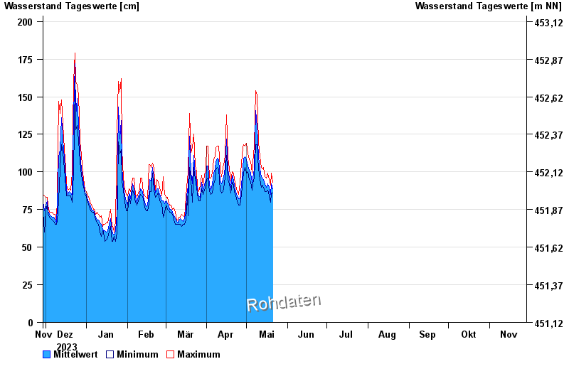
Chart of year Staufeneck / Saalach
Waterlevel from 29.11.2023 to 28.11.2024
- 14.09.1899 Wasserstand: 551 cm
- 05.07.1918 Wasserstand: 494 cm
- 07.09.1920 Wasserstand: 489 cm
- 07.08.1905 Wasserstand: 486 cm
- 31.07.1924 Wasserstand: 481 cm
| Date | Mean value [cm] | Maximum [cm] | Minimum [cm] |
|---|---|---|---|
| 01.05.2024 | 113 | 119 | 105 |
| 30.04.2024 | 110 | 117 | 103 |
| 29.04.2024 | 109 | 118 | 99 |
| 28.04.2024 | 103 | 116 | 95 |
| 27.04.2024 | 91 | 106 | 85 |
| 26.04.2024 | 82 | 93 | 78 |
| 25.04.2024 | 82 | 85 | 78 |
© Bayerisches Landesamt für Umwelt 2024