
- Start >
- Rivers >
- Waterlevel >
- Bayern >
- Poppenlauer >
- Chart of month

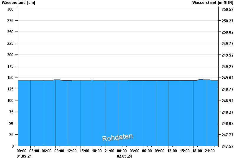
Chart of month Poppenlauer / Lauer
Waterlevel from 01.05.2024 to 02.05.2024
- 07.05.1969 Wasserstand: 391 cm
- 03.01.2003 Wasserstand: 373 cm
- 08.01.2011 Wasserstand: 366 cm
- 23.02.1970 Wasserstand: 362 cm
- 23.01.1995 Wasserstand: 354 cm
| Date | Waterlevel [cm] |
|---|---|
| 02.05.2024 08:15 | 143 |
| 02.05.2024 08:00 | 143 |
| 02.05.2024 07:45 | 143 |
| 02.05.2024 07:30 | 143 |
| 02.05.2024 07:15 | 143 |
| 02.05.2024 07:00 | 143 |
| 02.05.2024 06:45 | 143 |
© Bayerisches Landesamt für Umwelt 2024