
- Start >
- Rivers >
- Waterlevel >
- Bayern >
- Partenstein >
- Chart of month

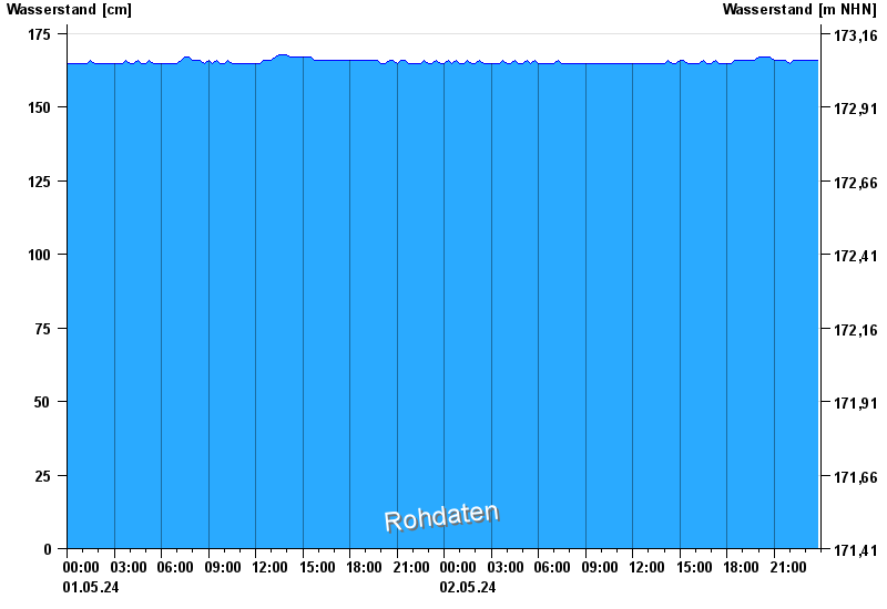
Chart of month Partenstein / Lohr
Waterlevel from 01.05.2024 to 02.05.2024
- Hochwassergefahrenfläche HQ100 310 cm
| Date | Waterlevel [cm] |
|---|---|
| 02.05.2024 01:45 | 165 |
| 02.05.2024 01:30 | 166 |
| 02.05.2024 01:15 | 165 |
| 02.05.2024 01:00 | 165 |
| 02.05.2024 00:45 | 166 |
| 02.05.2024 00:30 | 165 |
| 02.05.2024 00:15 | 166 |
© Bayerisches Landesamt für Umwelt 2024