
- Start >
- Rivers >
- Waterlevel >
- Bayern >
- Mittenwald >
- Current values

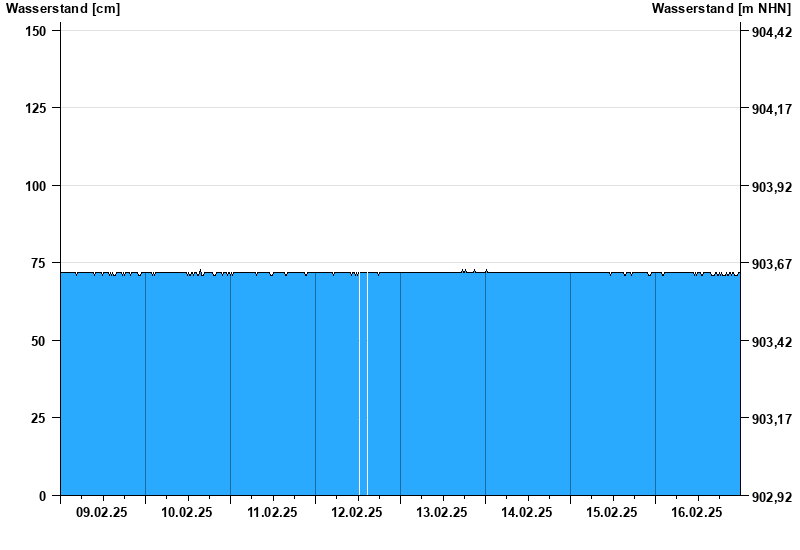
Current values Mittenwald / Isar
Waterlevel from 09.02.2025 to 16.02.2025
- 23.08.2005 Wasserstand: 440 cm
- 22.05.1999 Wasserstand: 407 cm
- 01.08.1977 Wasserstand: 379 cm
- 11.07.2005 Wasserstand: 353 cm
- 12.08.2002 Wasserstand: 345 cm
| Date | Waterlevel [cm] |
|---|---|
| 16.02.2025 23:45 | 72 |
| 16.02.2025 23:30 | 72 |
| 16.02.2025 23:15 | 71 |
| 16.02.2025 23:00 | 71 |
| 16.02.2025 22:45 | 71 |
| 16.02.2025 22:30 | 71 |
| 16.02.2025 22:15 | 71 |
© Bayerisches Landesamt für Umwelt 2025