
- Start >
- Rivers >
- Waterlevel >
- Bayern >
- Augsburg u. d. Wertachmündung >
- Current values

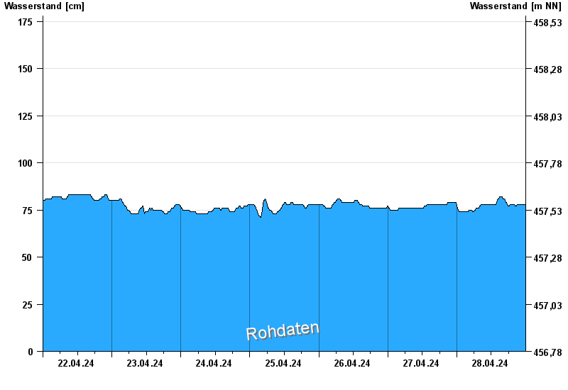
Current values Augsburg u. d. Wertachmündung / Lech
Waterlevel from 22.04.2024 to 28.04.2024
note
Abflussermittlung bei Hochwasser durch Geschiebeverlagerung beeinflusst
- 24.08.2005 Wasserstand: 559 cm
- 11.08.1970 Wasserstand: 556 cm
- 22.05.1999 Wasserstand: 553 cm
- 24.07.1966 Wasserstand: 482 cm
- 11.06.1965 Wasserstand: 475 cm
| Date | Waterlevel [cm] |
|---|---|
| 28.04.2024 21:15 | 78 |
| 28.04.2024 21:00 | 78 |
| 28.04.2024 20:45 | 77 |
| 28.04.2024 20:30 | 77 |
| 28.04.2024 20:15 | 77 |
| 28.04.2024 20:00 | 78 |
| 28.04.2024 19:45 | 78 |
© Bayerisches Landesamt für Umwelt 2024