
- Start >
- Groundwater >
- Waterlevel of upper layer >
- Untere Donau >
- WALCHSING >
- Master data

Master data WALCHSING
Site number: 18128
Measuring point system: Grundnetz
Community: Aldersbach
District: Passau
Operator:  Wasserwirtschaftsamt Deggendorf
Aquifer: Quartär
Measurement site depth under ground: 9.79 m
Ground level: 327.11 m above sealevel
Easting: 799765 (ETRS89 / UTM Zone 32N)
Northing: 5389862
Observation period: 20.07.1998 to 26.05.2026
Hauptwerte (Tagesmittelwerte):
Maximum waterlevel (HHW): 323.96 m above sealevel
Mean waterlevel (MW): 322.43 m above sealevel
Minimum waterlevel (NNW): 321.53 m above sealevel
Mean Highest Groundwater Level (MHGW): 323.10 m above sealevel (Period: 01.11.1997 - 01.11.2026)
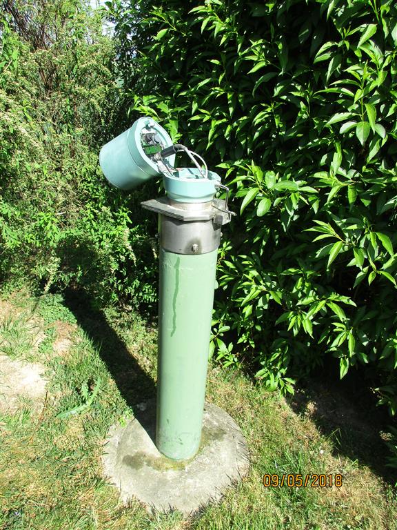
Picture of the measurement site
Location of the station WALCHSING
| Measurement site | Category |
|---|---|
 Hofkirchen Hofkirchen | Rivers: Runoff, Waterlevel |
| Plattling | Rivers: Runoff, Waterlevel, Suspended sediment |
| Auerbach | Rivers: Runoff, Waterlevel |
| Grafenmühle | Rivers: Runoff, Waterlevel, Water temperature, Water temperature |