
Current data Obersinn
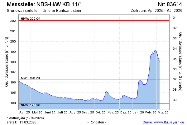
Groundwater level [m above sealevel]: 194.41
Distance to surface [m]: 38.89
Last value from 12.07.2026 10:00
Ground level [m above sealevel]: 233.30
| Date | Groundwater level [m above sealevel] |
|---|---|
| 12.07.2026 | 194.42 |
| 11.07.2026 | 194.42 |
| 10.07.2026 | 194.43 |
| 09.07.2026 | 194.43 |
| 08.07.2026 | 194.44 |
| 07.07.2026 | 194.43 |
| 06.07.2026 | 194.43 |
| 05.07.2026 | 194.43 |