
- Start >
- Groundwater >
- Waterlevel of upper layer >
- Isar >
- MITTERWÖHR LIEGNITZER STRASSE >
- Master data

Master data MITTERWÖHR LIEGNITZER STRASSE
Site number: 15210
Measuring point system: Staatliches Sondernetz
Community: Landshut
District: Landshut
Operator:  Wasserwirtschaftsamt Landshut
Aquifer: Quartär
Measurement site depth under ground: 5.20 m
Ground level: 386.25 m above sealevel
Easting: 734375 (ETRS89 / UTM Zone 32N)
Northing: 5382408
Observation period: 04.08.2015 to 21.05.2026
Hauptwerte (Tagesmittelwerte):
Maximum waterlevel (HHW): 384.59 m above sealevel
Mean waterlevel (MW): 383.84 m above sealevel
Minimum waterlevel (NNW): 383.33 m above sealevel
Mean Highest Groundwater Level (MHGW): 384.33 m above sealevel (Period: 01.11.2014 - 01.11.2026)
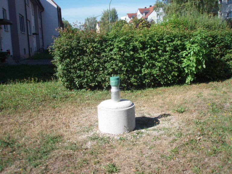
Picture of the measurement site
Location of the station MITTERWÖHR LIEGNITZER STRASSE
| Measurement site | Category |
|---|---|
 Rottenburg Rottenburg | Rivers: Runoff, Waterlevel |
| Grafentraubach | Rivers: Runoff, Waterlevel |
| Moosburg | Rivers: Runoff, Waterlevel |
| Landshut Birket | Rivers: Runoff, Waterlevel, Water temperature, Water temperature, Suspended sediment |