
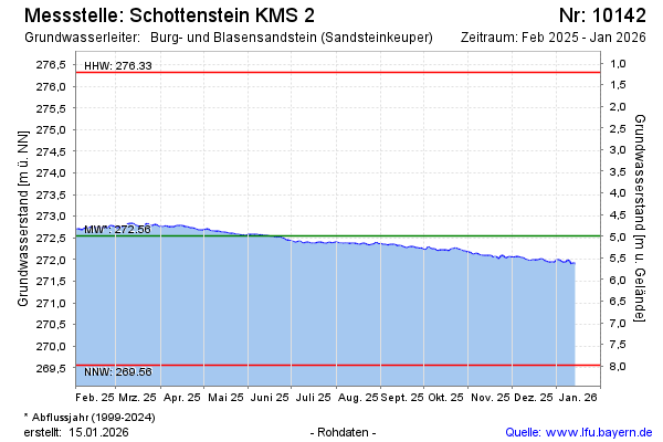
Current data Schottenstein KMS 2
Groundwater level [m above sealevel]: 271.38
Distance to surface [m]: 6.16
Last value from 24.06.2026 09:36
Ground level [m above sealevel]: 277.54
| Date | Groundwater level [m above sealevel] |
|---|---|
| 24.06.2026 | 271.39 |
| 23.06.2026 | 271.39 |
| 22.06.2026 | 271.39 |
| 21.06.2026 | 271.37 |
| 20.06.2026 | 271.38 |
| 19.06.2026 | 271.40 |
| 18.06.2026 | 271.40 |
| 17.06.2026 | 271.40 |