
- Start >
- Groundwater >
- Waterlevel of upper layer >
- Bayern >
- SR/GW SPESSART 01 >
- Master data

Master data SR/GW SPESSART 01
Site number: 27991
Measuring point system: Staatliches Sondernetz
Community: Bischbrunn
District: Main-Spessart
Operator:  Wasserwirtschaftsamt Aschaffenburg
Aquifer: Mittlerer Buntsandstein
Measurement site depth under ground: --
Ground level: 423.73 m above sealevel
Easting: 532084 (ETRS89 / UTM Zone 32N)
Northing: 5527883
Observation period: 09.04.1987 to 09.12.2025
Hauptwerte (Tagesmittelwerte):
Maximum waterlevel (HHW): 423.37 m above sealevel
Mean waterlevel (MW): 413.02 m above sealevel
Minimum waterlevel (NNW): 410.65 m above sealevel
Mean Highest Groundwater Level (MHGW): 417.57 m above sealevel (Period: 01.11.1986 - 01.11.2026)
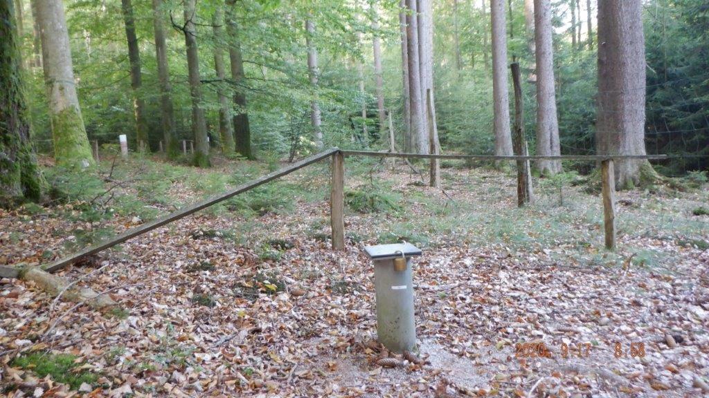
Picture of the measurement site
Location of the station SR/GW SPESSART 01
| Measurement site | Category |
|---|---|
 Steinbach Steinbach | Rivers: Runoff, Waterlevel, Water temperature, Water temperature |
| Steinbach Q | Rivers: Runoff |
| Kleinheubach | Rivers: Runoff, Waterlevel, Water temperature, Water temperature |
| Gemünden Lachsfangsteg | Rivers: Runoff, Waterlevel |