Year chart of precipitation ROTHMANNSTHAL 11
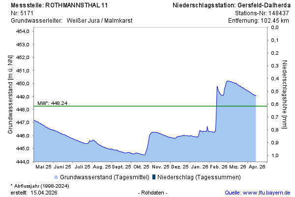
Groundwater level [m above sealevel]: 446,60
Distance to surface [m]: 24,33
Last value from 14.07.2026 09:00
Ground level [m above sealevel]: 470.93

Groundwater level [m above sealevel]: 446,60
Distance to surface [m]: 24,33
Last value from 14.07.2026 09:00
Ground level [m above sealevel]: 470.93