
- Start >
- Groundwater >
- Waterlevel of upper layer >
- Bayern >
- Klosterlangheim 19 >
- Master data

Master data Klosterlangheim 19
Site number: 5180
Measuring point system: Grundnetz
Community: Lichtenfels
District: Lichtenfels
Operator:  Wasserwirtschaftsamt Kronach
Aquifer: Burg- und Blasensandstein (Sandsteinkeuper)
Measurement site depth under ground: 145.50 m
Ground level: 305.60 m above sealevel
Easting: 650537 (ETRS89 / UTM Zone 32N)
Northing: 5553915
Observation period: 19.02.2002 to 13.04.2026
Hauptwerte (Tagesmittelwerte):
Maximum waterlevel (HHW): 288.37 m above sealevel
Mean waterlevel (MW): 286.70 m above sealevel
Minimum waterlevel (NNW): 284.95 m above sealevel
Mean Highest Groundwater Level (MHGW): 287.02 m above sealevel (Period: 01.11.2001 - 01.11.2026)
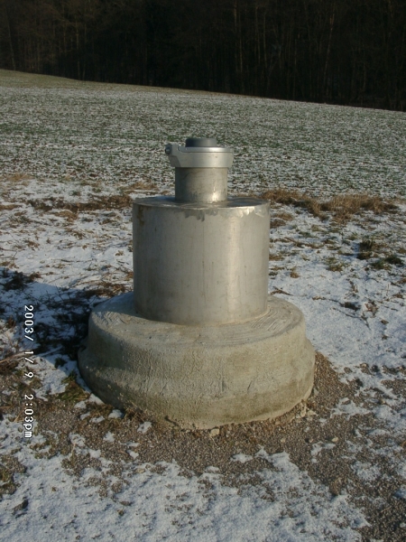
Picture of the measurement site
Location of the station Klosterlangheim 19
| Measurement site | Category |
|---|---|
 Schwürbitz Schwürbitz | Rivers: Runoff, Waterlevel, Water temperature, Water temperature |
| Kemmern | Rivers: Runoff, Waterlevel, Water temperature, Water temperature, Suspended sediment |
| Weismain | Rivers: Runoff, Waterlevel, Water temperature, Water temperature |
| Unterlangenstadt | Rivers: Runoff, Waterlevel |