
- Start >
- Groundwater >
- Waterlevel of upper layer >
- Bayern >
- Hallbergmoos >
- Master data

Master data Hallbergmoos
Site number: 16925
Measuring point system: Staatliches Sondernetz
Community: Hallbergmoos
District: Freising
Operator:  Wasserwirtschaftsamt München
Aquifer:
Measurement site depth under ground: 8.30 m
Ground level: 457.47 m above sealevel
Easting: 701535 (ETRS89 / UTM Zone 32N)
Northing: 5356239
Observation period: 22.07.2016 to 13.04.2026
Hauptwerte (Tagesmittelwerte):
Maximum waterlevel (HHW): 456.17 m above sealevel
Mean waterlevel (MW): 454.77 m above sealevel
Minimum waterlevel (NNW): 454.32 m above sealevel
Mean Highest Groundwater Level (MHGW): 455.31 m above sealevel (Period: 01.11.2015 - 01.11.2026)
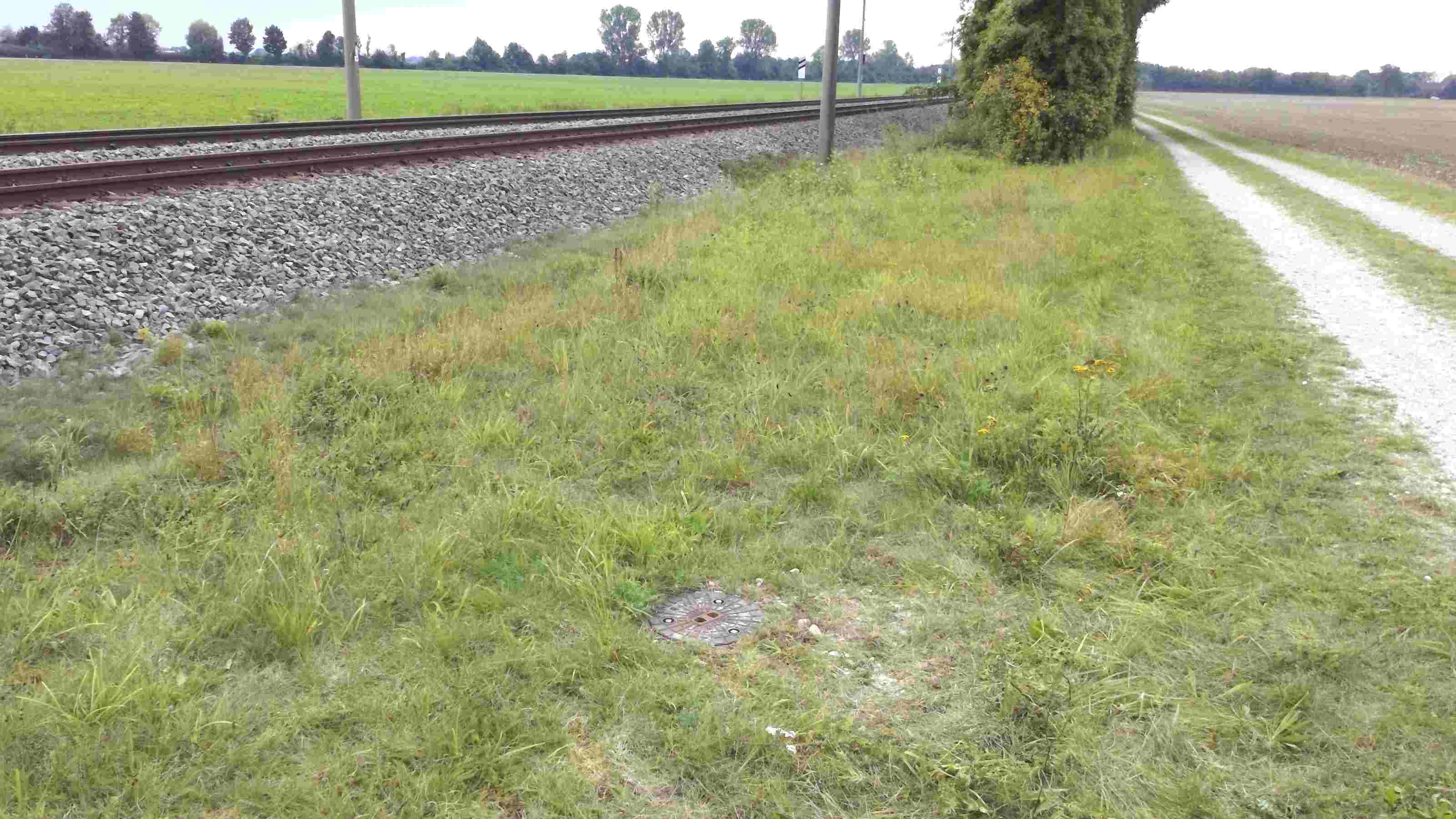
Picture of the measurement site
Location of the station Hallbergmoos
| Measurement site | Category |
|---|---|
 Pfaffenhofen Pfaffenhofen | Rivers: Runoff, Waterlevel |
| München | Rivers: Runoff, Waterlevel, Water temperature, Water temperature |
| München (virtuell) | Rivers: Runoff |
| Freising | Rivers: Runoff, Waterlevel |