
- Start >
- Groundwater >
- Waterlevel of upper layer >
- Bayern >
- BK9-Karlstein_Schmalschlägerstr 2 >
- Master data

Master data BK9-Karlstein_Schmalschlägerstr 2
Site number: 23969
Measuring point system: Staatliches Sondernetz
Community: Bad Reichenhall
District: Berchtesgadener Land
Operator:  Wasserwirtschaftsamt Traunstein
Aquifer:
Measurement site depth under ground: 11.07 m
Ground level: 470.32 m above sealevel
Easting: 788772 (ETRS89 / UTM Zone 32N)
Northing: 5292456
Observation period: 18.10.2017 to 02.03.2026
Hauptwerte (Tagesmittelwerte):
Maximum waterlevel (HHW): 465.71 m above sealevel
Mean waterlevel (MW): 462.11 m above sealevel
Minimum waterlevel (NNW): 460.70 m above sealevel
Mean Highest Groundwater Level (MHGW): 463.88 m above sealevel (Period: 01.11.2016 - 01.11.2026)
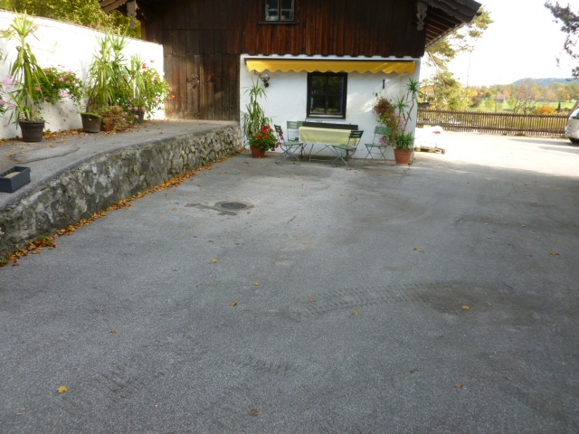
Picture of the measurement site
Location of the station BK9-Karlstein_Schmalschlägerstr 2
| Measurement site | Category |
|---|---|
 Hochberg Hochberg | Rivers: Runoff, Waterlevel |
| Fritz am Sand | Rivers: Runoff, Waterlevel |
| Siegsdorf | Rivers: Runoff, Waterlevel |
| Wernleiten | Rivers: Runoff, Waterlevel |