
- Start >
- Groundwater >
- Waterlevel of upper layer >
- Bayern >
- BK10-Urschlauer Ache >
- Master data

Master data BK10-Urschlauer Ache
Site number: 23980
Measuring point system: Staatliches Sondernetz
Community: Ruhpolding
District: Traunstein
Operator:  Wasserwirtschaftsamt Traunstein
Aquifer:
Measurement site depth under ground: 5.50 m
Ground level: 677.52 m above sealevel
Easting: 772262 (ETRS89 / UTM Zone 32N)
Northing: 5295003
Observation period: 12.10.2018 to 20.03.2026
Hauptwerte (Tagesmittelwerte):
Maximum waterlevel (HHW): 674.91 m above sealevel
Mean waterlevel (MW): 674.16 m above sealevel
Minimum waterlevel (NNW): 674.08 m above sealevel
Mean Highest Groundwater Level (MHGW): 674.51 m above sealevel (Period: 01.11.2017 - 01.11.2026)
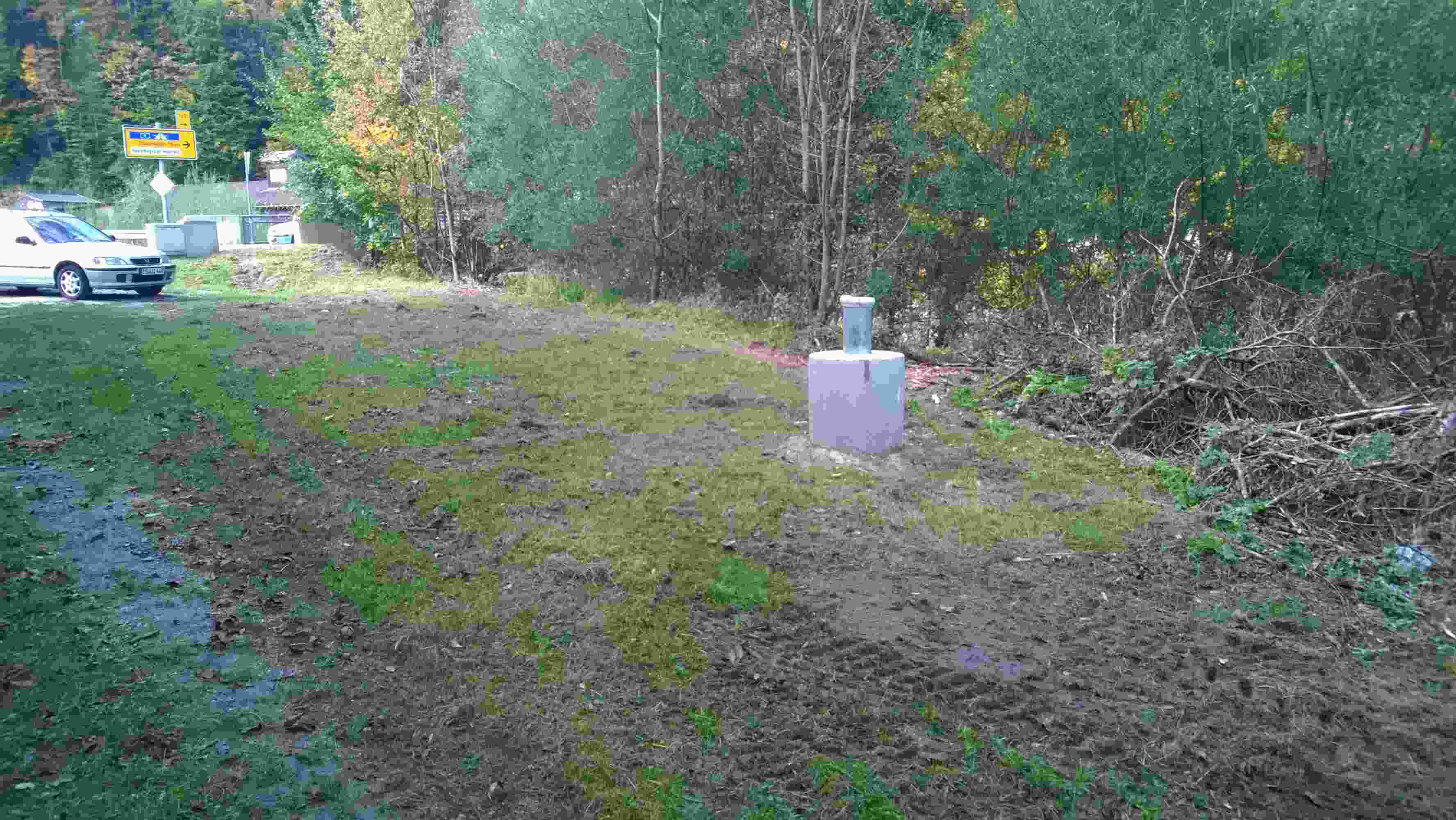
Picture of the measurement site
Location of the station BK10-Urschlauer Ache
| Measurement site | Category |
|---|---|
 Seebruck Seebruck | Rivers: Runoff, Waterlevel, Water temperature, Water temperature |
| Staudach | Rivers: Runoff, Waterlevel, Water temperature, Water temperature, Suspended sediment |
| Reit im Winkl | Rivers: Runoff, Waterlevel |
| Mühlau | Rivers: Runoff, Waterlevel |