
- Start >
- Groundwater >
- Waterlevel of upper layer >
- Bayern >
- Birkenfeld WÜ - MU 1 >
- Master data

Master data Birkenfeld WÜ - MU 1
Site number: 27134
Measuring point system: Grundnetz
Community: Birkenfeld
District: Main-Spessart
Operator:  Wasserwirtschaftsamt Aschaffenburg
Aquifer: Unterer Muschelkalk
Measurement site depth under ground: 72.50 m
Ground level: 269.44 m above sealevel
Easting: 549181 (ETRS89 / UTM Zone 32N)
Northing: 5521703
Observation period: 26.11.2003 to 24.02.2026
Hauptwerte (Tagesmittelwerte):
Maximum waterlevel (HHW): 257.88 m above sealevel
Mean waterlevel (MW): 244.69 m above sealevel
Minimum waterlevel (NNW): 236.51 m above sealevel
Mean Highest Groundwater Level (MHGW): 249.13 m above sealevel (Period: 01.11.2003 - 01.11.2026)
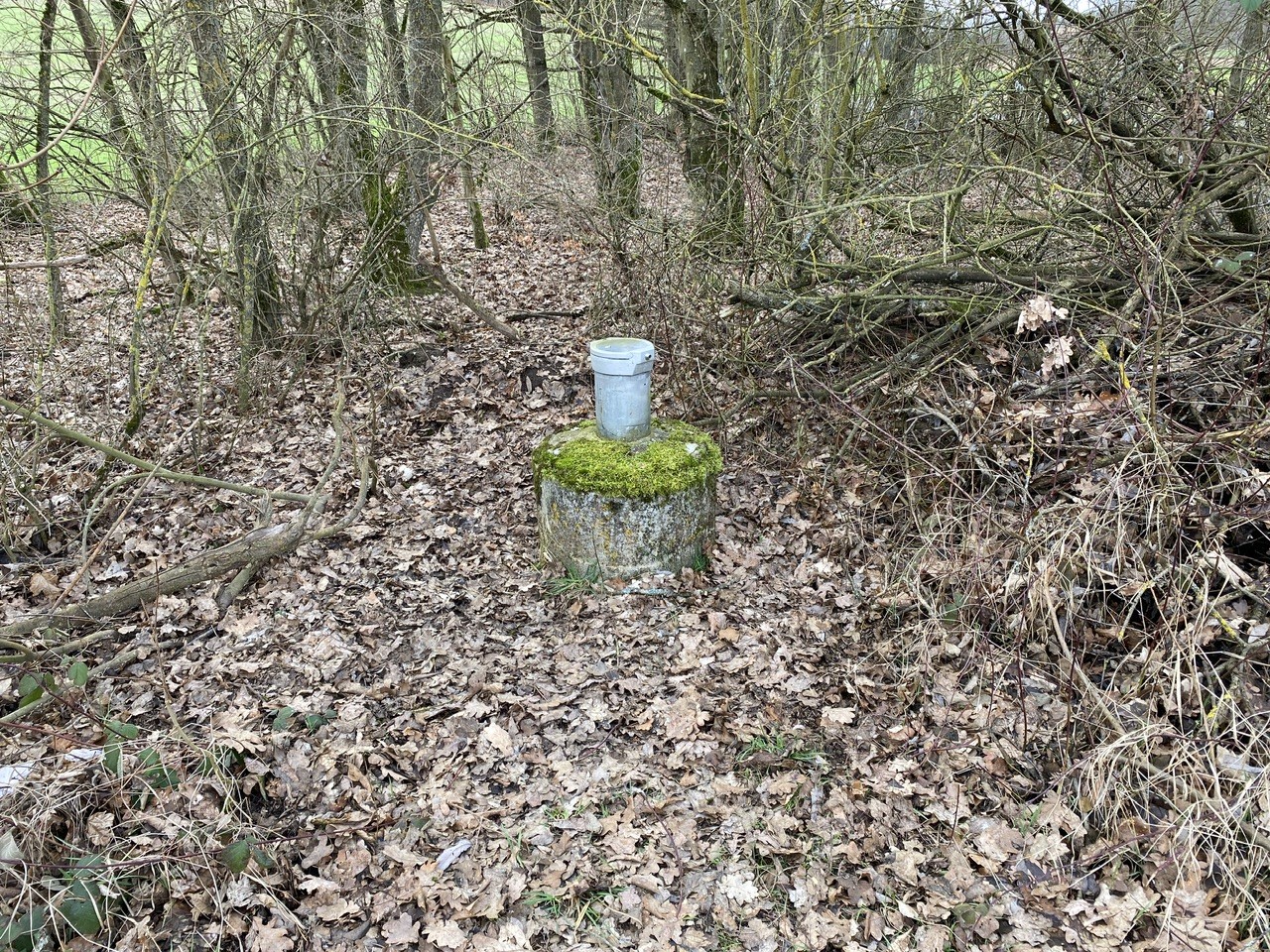
Picture of the measurement site
Location of the station Birkenfeld WÜ - MU 1
| Measurement site | Category |
|---|---|
 Würzburg Würzburg | Rivers: Runoff, Waterlevel, Water temperature, Water temperature |
| Würzburg Q | Rivers: Runoff |
| Steinbach | Rivers: Runoff, Waterlevel, Water temperature, Water temperature |
| Steinbach Q | Rivers: Runoff |