
- Start >
- Groundwater >
- Flow of springs >
- Bayern >
- Hohenmühle 8/2 >
- Master data

Master data Hohenmühle 8/2
Site number: 5503
Measuring point system: Grundnetz
Community: Viereth-Trunstadt
District: Bamberg
Measurement data provided by:  Wasserwirtschaftsamt Kronach
Aquifer: Burg- und Blasensandstein (Sandsteinkeuper)
Ground level: 248.00 m above sealevel
Easting: 626628 (ETRS89 / UTM Zone 32N)
Northing: 5531043
Observation period: 16.07.1951 to 06.12.2025
Hauptwerte (Tagesmittelwerte):
Maximum flow: 30.00 l/s
Mean flow: 5.49 l/s
Minimum flow: 1.01 l/s
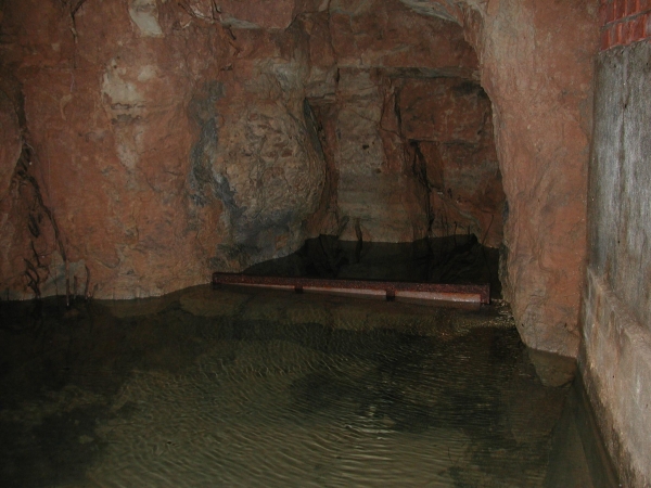
Picture of the measurement site
Location of the station Hohenmühle 8/2
| Measurement site | Category |
|---|---|
 Kemmern Kemmern | Rivers: Runoff, Waterlevel, Water temperature, Water temperature, Suspended sediment |
| Trunstadt | Rivers: Runoff, Waterlevel, Water temperature, Water temperature |
| Trunstadt Q | Rivers: Runoff |
| Schenkenau | Rivers: Runoff, Waterlevel, Water temperature, Water temperature |
© Bayerisches Landesamt für Umwelt 2025