
- Start >
- Groundwater >
- Waterlevel of deep layer >
- Bayern >
- Unterwittbach S 1 >
- Master data

Master data Unterwittbach S 1
Site number: 27147
Measuring point system: Grundnetz
Community: Kreuzwertheim
District: Main-Spessart
Operator:  Wasserwirtschaftsamt Aschaffenburg
Aquifer: Mittlerer Muschelkalk
Measurement site depth under ground: 94.90 m
Ground level: 250.38 m above sealevel
Easting: 539901 (ETRS89 / UTM Zone 32N)
Northing: 5517023
Observation period: 01.04.2011 to 11.04.2026
Hauptwerte (Tagesmittelwerte):
Maximum waterlevel (HHW): 187.85 m above sealevel
Mean waterlevel (MW): 186.82 m above sealevel
Minimum waterlevel (NNW): 186.28 m above sealevel
Mean Highest Groundwater Level (MHGW): 187.13 m above sealevel (Period: 01.11.2010 - 01.11.2026)
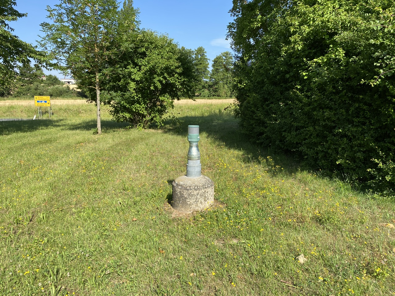
Picture of the measurement site
Location of the station Unterwittbach S 1
| Measurement site | Category |
|---|---|
 Steinbach Steinbach | Rivers: Runoff, Waterlevel, Water temperature, Water temperature |
| Steinbach Q | Rivers: Runoff |
| Sachsenheim | Rivers: Runoff, Waterlevel, Water temperature, Water temperature |
| Partenstein | Rivers: Runoff, Waterlevel |