
- Start >
- Groundwater >
- Waterlevel of deep layer >
- Bayern >
- Unterholzhausen T15 >
- Master data

Master data Unterholzhausen T15
Site number: 15184
Measuring point system: Grundnetz
Community: Dingolfing
District: Dingolfing-Landau
Operator:  Wasserwirtschaftsamt Landshut
Aquifer: Tertiär
Measurement site depth under ground: 131.90 m
Ground level: 447.19 m above sealevel
Easting: 756570 (ETRS89 / UTM Zone 32N)
Northing: 5386768
Observation period: 19.03.2002 to 02.05.2026
Hauptwerte (Tagesmittelwerte):
Maximum waterlevel (HHW): 406.50 m above sealevel
Mean waterlevel (MW): 405.07 m above sealevel
Minimum waterlevel (NNW): 403.72 m above sealevel
Mean Highest Groundwater Level (MHGW): 405.35 m above sealevel (Period: 01.11.2001 - 01.11.2026)
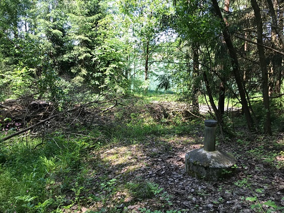
Picture of the measurement site
Location of the station Unterholzhausen T15
| Measurement site | Category |
|---|---|
 Grafentraubach Grafentraubach | Rivers: Runoff, Waterlevel |
| Salching | Rivers: Runoff, Waterlevel |
| Haberkofen | Rivers: Runoff, Waterlevel |
| Landau | Rivers: Runoff, Waterlevel, Water temperature, Water temperature |