
- Start >
- Groundwater >
- Waterlevel of deep layer >
- Bayern >
- OBERDIETENAU T 17 >
- Master data

Master data OBERDIETENAU T 17
Site number: 15199
Measuring point system: Grundnetz
Community: Moosthenning
District: Dingolfing-Landau
Operator:  Wasserwirtschaftsamt Landshut
Aquifer: Tertiär
Measurement site depth under ground: 80.00 m
Ground level: 380.83 m above sealevel
Easting: 754387 (ETRS89 / UTM Zone 32N)
Northing: 5396614
Observation period: 06.08.2007 to 22.05.2026
Hauptwerte (Tagesmittelwerte):
Maximum waterlevel (HHW): 363.84 m above sealevel
Mean waterlevel (MW): 362.85 m above sealevel
Minimum waterlevel (NNW): 362.30 m above sealevel
Mean Highest Groundwater Level (MHGW): 363.11 m above sealevel (Period: 01.11.2006 - 01.11.2026)
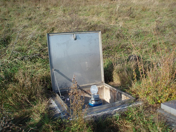
Picture of the measurement site
Location of the station OBERDIETENAU T 17
| Measurement site | Category |
|---|---|
 Schönach Schönach | Rivers: Runoff, Waterlevel, Suspended sediment |
| Grafentraubach | Rivers: Runoff, Waterlevel |
| Salching | Rivers: Runoff, Waterlevel |
| Haberkofen | Rivers: Runoff, Waterlevel |