
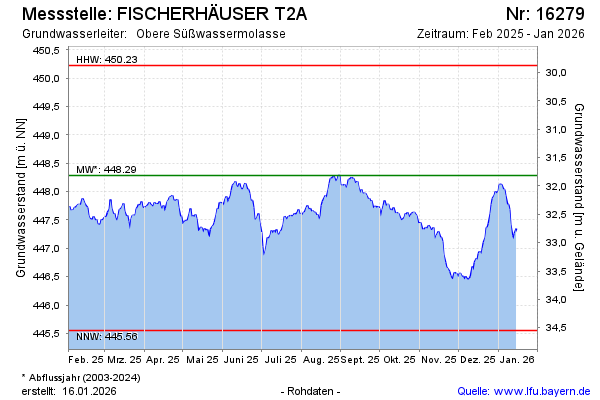
Current data FISCHERHÄUSER T2A
Groundwater level [m above sealevel]: 445.60
Distance to surface [m]: 34.5
Last value from 01.07.2026 10:00
Ground level [m above sealevel]: 480.10
| Date | Groundwater level [m above sealevel] |
|---|---|
| 01.07.2026 | 445.73 |
| 30.06.2026 | 445.60 |
| 29.06.2026 | 445.65 |
| 28.06.2026 | 445.67 |
| 27.06.2026 | 445.66 |
| 26.06.2026 | 445.74 |
| 25.06.2026 | 445.82 |
| 24.06.2026 | 445.94 |