
- Start >
- Groundwater >
- Waterlevel of deep layer >
- Bayern >
- Büchold MU 13 >
- Master data

Master data Büchold MU 13
Site number: 27146
Measuring point system: Grundnetz
Community: Arnstein
District: Main-Spessart
Operator:  Wasserwirtschaftsamt Aschaffenburg
Aquifer: Mittlerer Muschelkalk
Measurement site depth under ground: 113.80 m
Ground level: 252.35 m above sealevel
Easting: 568304 (ETRS89 / UTM Zone 32N)
Northing: 5540557
Observation period: 18.03.2011 to 22.05.2026
Hauptwerte (Tagesmittelwerte):
Maximum waterlevel (HHW): 220.80 m above sealevel
Mean waterlevel (MW): 214.94 m above sealevel
Minimum waterlevel (NNW): 210.56 m above sealevel
Mean Highest Groundwater Level (MHGW): 216.68 m above sealevel (Period: 01.11.2010 - 01.11.2026)
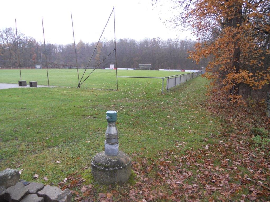
Picture of the measurement site
Location of the station Büchold MU 13
| Measurement site | Category |
|---|---|
 Würzburg Würzburg | Rivers: Runoff, Waterlevel, Water temperature, Water temperature |
| Würzburg Q | Rivers: Runoff |
| Würzburg | Rivers: Runoff, Waterlevel |
| Ettleben | Rivers: Runoff, Waterlevel |