
- Start >
- Groundwater >
- Waterlevel of deep layer >
- Bayern >
- BRUNNEN I FÜRSTBERG >
- Master data

Master data BRUNNEN I FÜRSTBERG
Site number: 19146
Measuring point system: Grundnetz
Community: Stubenberg
District: Rottal-Inn
Operator:  Wasserwirtschaftsamt Deggendorf
Aquifer: Tertiär
Measurement site depth under ground: 140.00 m
Ground level: 470.38 m above sealevel
Easting: 802120 (ETRS89 / UTM Zone 32N)
Northing: 5360935
Observation period: 04.01.2012 to 13.04.2026
Hauptwerte (Tagesmittelwerte):
Maximum waterlevel (HHW): 415.93 m above sealevel
Mean waterlevel (MW): 415.11 m above sealevel
Minimum waterlevel (NNW): 413.75 m above sealevel
Mean Highest Groundwater Level (MHGW): 415.45 m above sealevel (Period: 01.11.2011 - 01.11.2026)
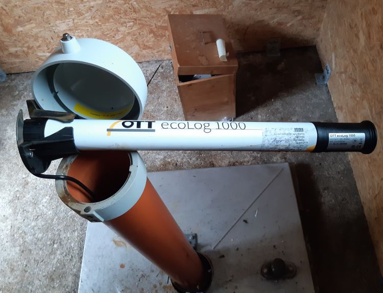
Picture of the measurement site
Location of the station BRUNNEN I FÜRSTBERG
| Measurement site | Category |
|---|---|
 Burghausen Burghausen | Rivers: Runoff, Waterlevel |
| Schermühle | Rivers: Runoff, Waterlevel |
| Simbach | Rivers: Runoff, Waterlevel |
| Linden | Rivers: Runoff, Waterlevel, Suspended sediment |