
- Start >
- Groundwater >
- Waterlevel of deep layer >
- Bayern >
- BRUNNEN VII KOHLSTORF >
- Master data

Master data BRUNNEN VII KOHLSTORF
Site number: 19618
Measuring point system: Grundnetz
Community: --
District: Rottal-Inn
Operator:  Wasserwirtschaftsamt Deggendorf
Aquifer: Tertiär
Measurement site depth under ground: 122.50 m
Ground level: 393.10 m above sealevel
Easting: 783724 (ETRS89 / UTM Zone 32N)
Northing: 5385977
Observation period: 01.12.2011 to 16.04.2024
Maximum waterlevel (HHW): 370.22 m above sealevel
Mean waterlevel (MW): 369.44 m above sealevel
Minimum waterlevel (NNW): 367.37 m above sealevel
Mean Highest Groundwater Level (MHGW): 369.78 m above sealevel (Period: 01.11.2011 - 01.11.2024)
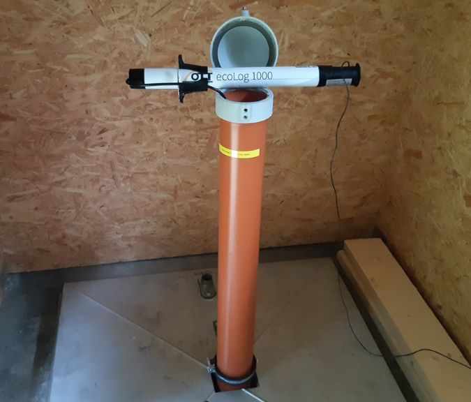
Picture of the measurement site
Location of the station BRUNNEN VII KOHLSTORF
| Measurement site | Category |
|---|---|
 Landau Landau | Rivers: Runoff, Waterlevel, Water temperature, Water temperature |
| Plattling | Rivers: Runoff, Waterlevel, Suspended sediment |
| Wallersdorf | Rivers: Runoff, Waterlevel |
| Auerbach | Rivers: Runoff, Waterlevel |