
- Start >
- Groundwater >
- Waterlevel of upper layer >
- Bayern >
- Gochsheim GMW 5 Q >
- Master data

Master data Gochsheim GMW 5 Q
Site number: 22213
Measuring point system: Staatliches Sondernetz
Community: --
District:
Operator:  Wasserwirtschaftsamt Bad Kissingen
Aquifer: Quartär
Measurement site depth under ground: --
Ground level: 217.04 m above sealevel
Easting: 590656 (ETRS89 / UTM Zone 32N)
Northing: 5541429
Observation period: 21.07.2020 to 27.04.2024
Maximum waterlevel (HHW): 216.52 m above sealevel
Mean waterlevel (MW): 215.77 m above sealevel
Minimum waterlevel (NNW): 214.40 m above sealevel
Mean Highest Groundwater Level (MHGW): 216.22 m above sealevel (Period: 01.11.2019 - 01.11.2024)
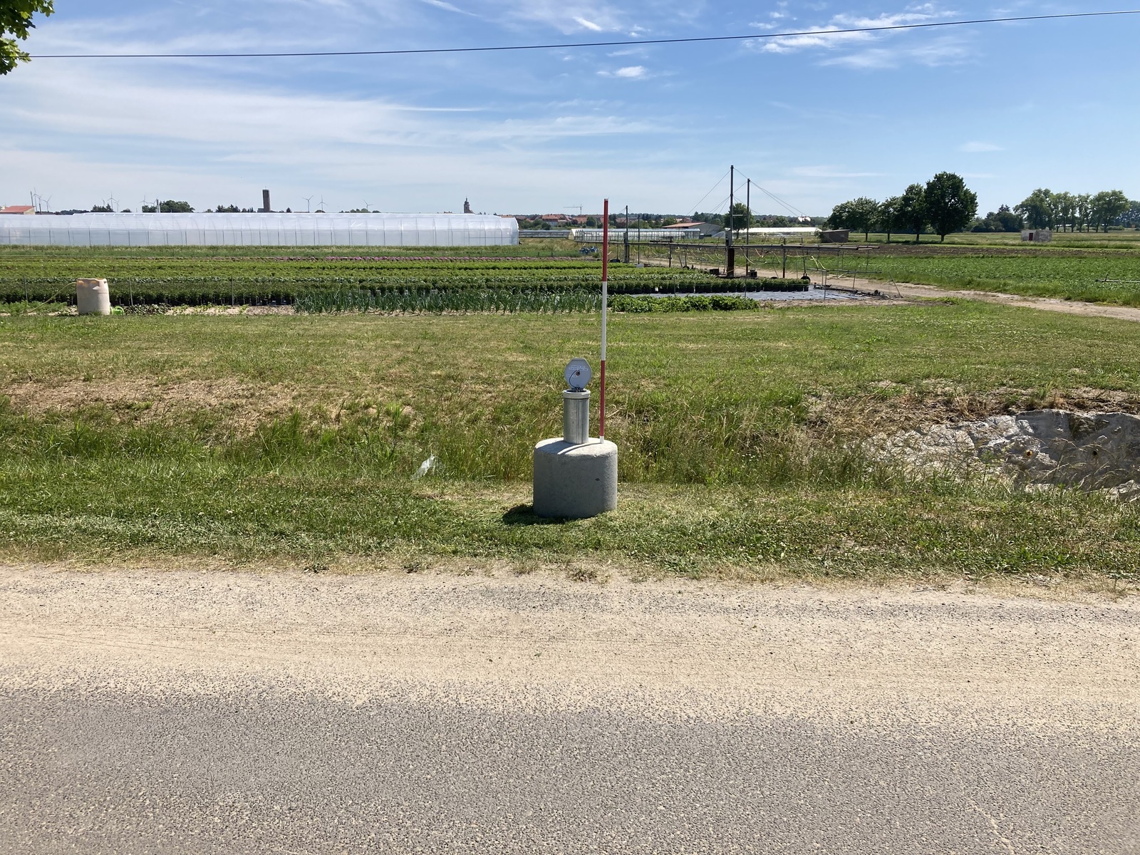
Picture of the measurement site
Location of the station Gochsheim GMW 5 Q
| Measurement site | Category |
|---|---|
 Dingolshausen Dingolshausen | Rivers: Runoff, Waterlevel |
| Poppenlauer | Rivers: Runoff, Waterlevel |
| Münnerstadt | Rivers: Runoff, Waterlevel, Water temperature, Water temperature |
| Schweinfurt Neuer Hafen | Rivers: Runoff, Waterlevel, Water temperature, Water temperature |