
- Start >
- Groundwater >
- Waterlevel of upper layer >
- Bayern >
- WEGFURT N >
- Master data

Master data WEGFURT N
Site number: 22138
Measuring point system: Verdichtungsnetz
Community: --
District:
Operator:  Wasserwirtschaftsamt Bad Kissingen
Aquifer: Mittlerer Buntsandstein
Measurement site depth under ground: 30.32 m
Ground level: 353.70 m above sealevel
Easting: 577959 (ETRS89 / UTM Zone 32N)
Northing: 5583737
Observation period: 22.01.1994 to 27.04.2024
Maximum waterlevel (HHW): 349.69 m above sealevel
Mean waterlevel (MW): 347.36 m above sealevel
Minimum waterlevel (NNW): 346.14 m above sealevel
Mean Highest Groundwater Level (MHGW): 348.61 m above sealevel (Period: 01.11.1993 - 01.11.2024)
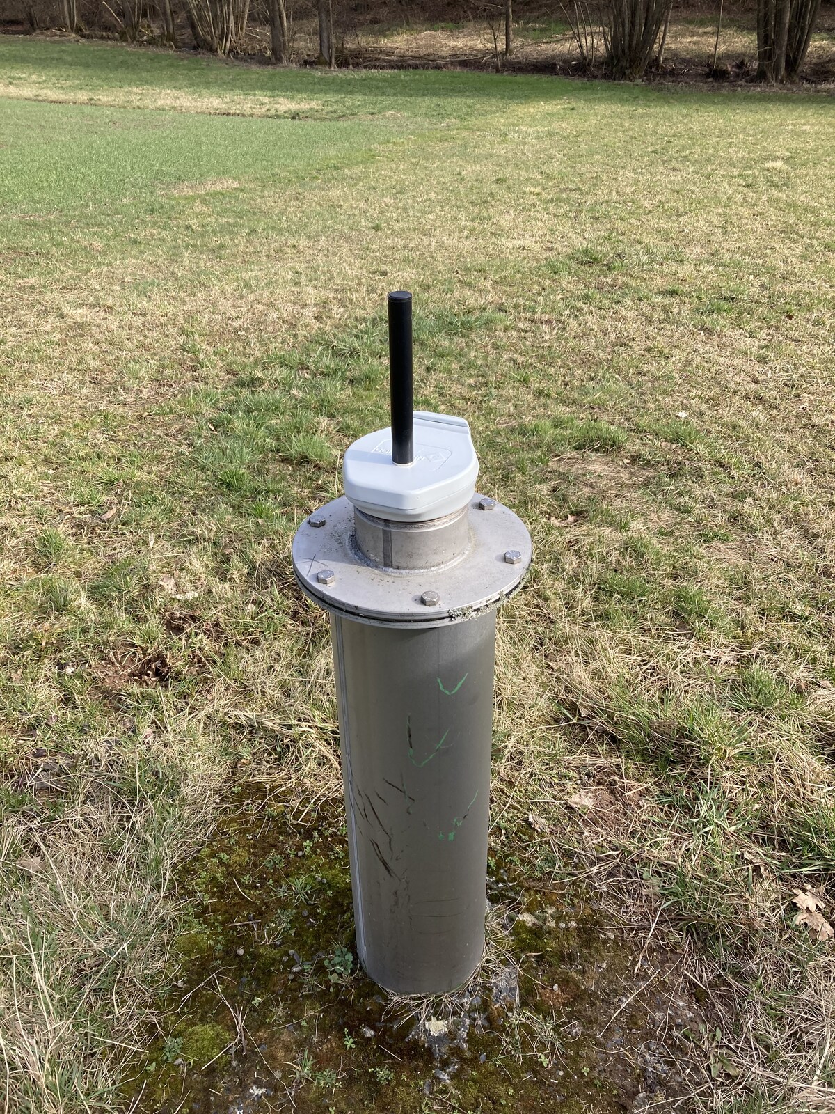
Picture of the measurement site
Location of the station WEGFURT N
| Measurement site | Category |
|---|---|
 Salz Salz | Rivers: Runoff, Waterlevel, Water temperature, Water temperature |
| Unsleben | Rivers: Runoff, Waterlevel, Water temperature, Water temperature |
| Stockheim | Rivers: Runoff, Waterlevel |
| Wechterswinkel | Rivers: Runoff, Waterlevel |