
- Start >
- Groundwater >
- Waterlevel of upper layer >
- Bayern >
- EICHENDORF 342B >
- Master data

Master data EICHENDORF 342B
Site number: 19125
Measuring point system: Grundnetz
Community: Eichendorf
District: Dingolfing-Landau
Operator:  Wasserwirtschaftsamt Landshut
Aquifer: Quartär
Measurement site depth under ground: 9.85 m
Ground level: 354.80 m above sealevel
Easting: 784395 (ETRS89 / UTM Zone 32N)
Northing: 5393736
Observation period: 07.11.1960 to 26.04.2024
Maximum waterlevel (HHW): 350.43 m above sealevel
Mean waterlevel (MW): 349.40 m above sealevel
Minimum waterlevel (NNW): 348.89 m above sealevel
Mean Highest Groundwater Level (MHGW): 349.79 m above sealevel (Period: 01.11.1959 - 01.11.2024)
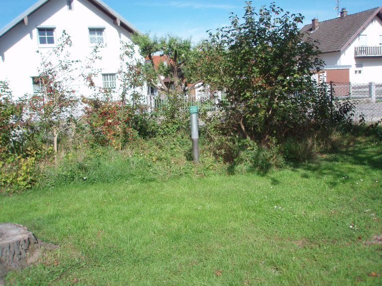
Picture of the measurement site
Location of the station EICHENDORF 342B
| Measurement site | Category |
|---|---|
 Pfelling Pfelling | Rivers: Runoff, Waterlevel |
| Haberkofen | Rivers: Runoff, Waterlevel |
| Deggendorf | Rivers: Runoff, Waterlevel |
| Landau | Rivers: Runoff, Waterlevel, Water temperature, Water temperature |