
- Start >
- Groundwater >
- Waterlevel of upper layer >
- Bayern >
- KREUTZPAINTNER A 14A >
- Master data

Master data KREUTZPAINTNER A 14A
Site number: 42628
Measuring point system: Staatliches Sondernetz
Community: Essenbach
District: Landshut
Operator:  Wasserwirtschaftsamt Landshut
Aquifer: Quartär
Measurement site depth under ground: 6.00 m
Ground level: 374.96 m above sealevel
Easting: 741889 (ETRS89 / UTM Zone 32N)
Northing: 5389456
Observation period: 01.11.1980 to 14.04.2026
Hauptwerte (Tagesmittelwerte):
Maximum waterlevel (HHW): 373.49 m above sealevel
Mean waterlevel (MW): 372.29 m above sealevel
Minimum waterlevel (NNW): 371.77 m above sealevel
Mean Highest Groundwater Level (MHGW): 372.83 m above sealevel (Period: 01.11.1980 - 01.11.2026)
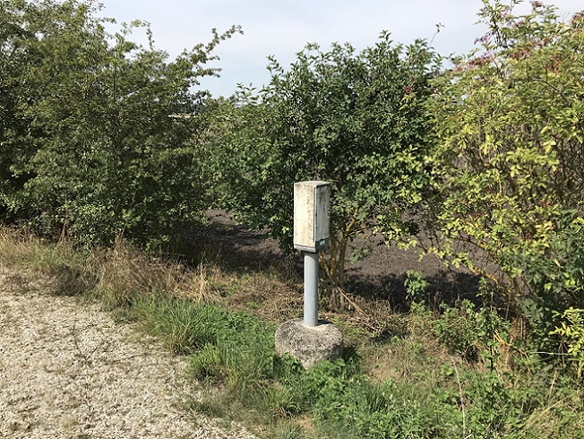
Picture of the measurement site
Location of the station KREUTZPAINTNER A 14A
| Measurement site | Category |
|---|---|
 Grafentraubach Grafentraubach | Rivers: Runoff, Waterlevel |
| Landshut Birket | Rivers: Runoff, Waterlevel, Water temperature, Water temperature, Suspended sediment |
| Landshut (virtuell) | Rivers: Runoff |
| Landshut Flutmulde | Rivers: Runoff, Waterlevel |