
- Start >
- Groundwater >
- Waterlevel of upper layer >
- Bayern >
- Arbing B17 >
- Master data

Master data Arbing B17
Site number: 23676
Measuring point system: Staatliches Sondernetz
Community: Reischach
District: Altötting
Operator:  Wasserwirtschaftsamt Traunstein
Aquifer: Obere Süßwassermolasse
Measurement site depth under ground: 12.80 m
Ground level: 447.72 m above sealevel
Easting: 775474 (ETRS89 / UTM Zone 32N)
Northing: 5359486
Observation period: 05.02.2024 to 05.11.2025
Hauptwerte (Tagesmittelwerte):
Maximum waterlevel (HHW): 441.49 m above sealevel
Mean waterlevel (MW): 440.84 m above sealevel
Minimum waterlevel (NNW): 440.09 m above sealevel
Mean Highest Groundwater Level (MHGW): 441.03 m above sealevel (Period: 01.11.2023 - 01.11.2026)
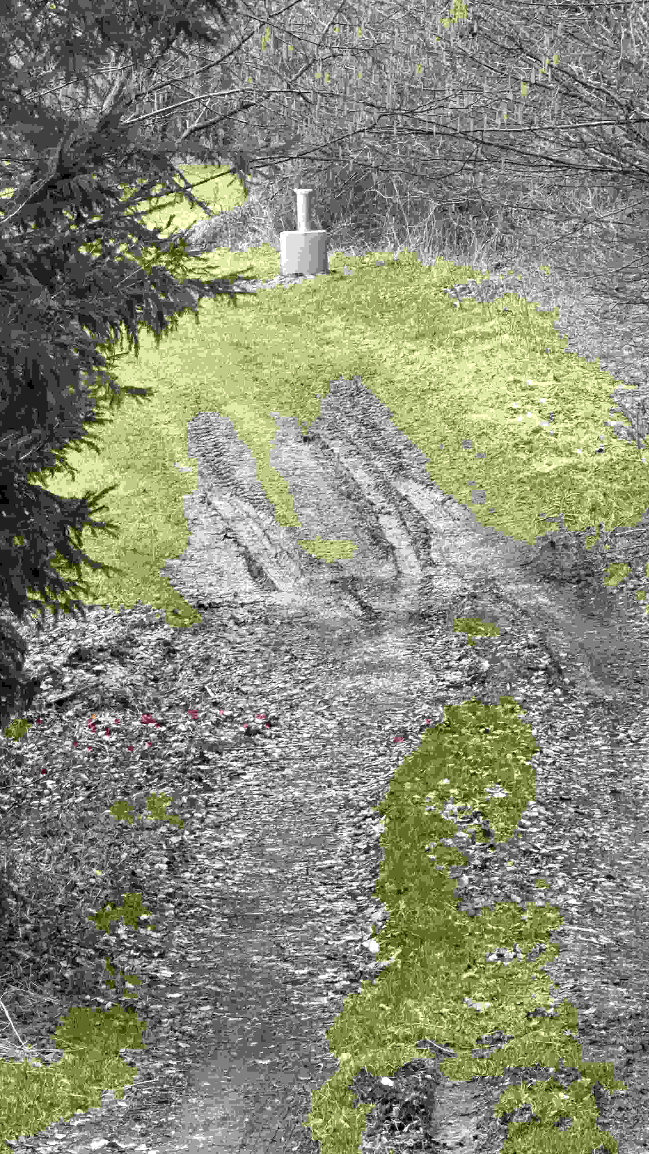
Picture of the measurement site
Location of the station Arbing B17
| Measurement site | Category |
|---|---|
 Aham Aham | Rivers: Runoff, Waterlevel |
| Kollbach | Rivers: Runoff, Waterlevel |
| Mühldorf | Rivers: Runoff, Waterlevel |
| Eschelbach | Rivers: Runoff, Waterlevel, Suspended sediment |