
- Start >
- Groundwater >
- Waterlevel of deep layer >
- Bayern >
- AUTOBAHN WÖRTH/ISAR W3 >
- Master data

Master data AUTOBAHN WÖRTH/ISAR W3
Site number: 15194
Measuring point system: Grundnetz
Community: Essenbach
District: Landshut
Operator:  Wasserwirtschaftsamt Landshut
Aquifer: Weißer Jura / Malmkarst
Measurement site depth under ground: 349.20 m
Ground level: 373.79 m above sealevel
Easting: 742432 (ETRS89 / UTM Zone 32N)
Northing: 5390124
Observation period: 25.11.2004 to 13.04.2026
Hauptwerte (Tagesmittelwerte):
Maximum waterlevel (HHW): 369.13 m above sealevel
Mean waterlevel (MW): 368.63 m above sealevel
Minimum waterlevel (NNW): 367.90 m above sealevel
Mean Highest Groundwater Level (MHGW): 368.82 m above sealevel (Period: 01.11.2004 - 01.11.2026)
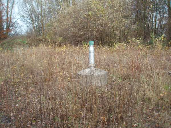
Picture of the measurement site
Location of the station AUTOBAHN WÖRTH/ISAR W3
| Measurement site | Category |
|---|---|
 Grafentraubach Grafentraubach | Rivers: Runoff, Waterlevel |
| Landshut Birket | Rivers: Runoff, Waterlevel, Water temperature, Water temperature, Suspended sediment |
| Landshut (virtuell) | Rivers: Runoff |
| Landshut Flutmulde | Rivers: Runoff, Waterlevel |