
- Start >
- Rivers >
- Waterlevel >
- Untere Donau >
- Sägmühle >
- Current values

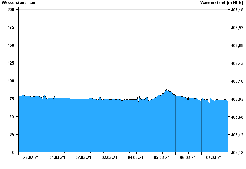
Current values Sägmühle / Schwarzer Regen
Waterlevel from 28.02.2021 to 07.03.2021
- 07.01.1993 Wasserstand: 393 cm
- 13.08.2002 Wasserstand: 385 cm
- 21.12.1993 Wasserstand: 326 cm
- 21.03.2002 Wasserstand: 312 cm
- 22.07.1980 Wasserstand: 306 cm
| Date | Waterlevel [cm] |
|---|---|
| 07.03.2021 23:45 | 72 |
| 07.03.2021 23:30 | 72 |
| 07.03.2021 23:15 | 72 |
| 07.03.2021 23:00 | 73 |
| 07.03.2021 22:45 | 73 |
| 07.03.2021 22:30 | 73 |
| 07.03.2021 22:15 | 74 |
© Bayerisches Landesamt für Umwelt 2024