
- Start >
- Rivers >
- Waterlevel >
- Untere Donau >
- Passau Ingling >
- Chart of year

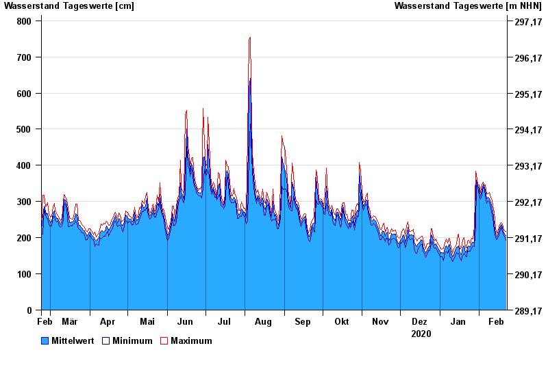
Chart of year Passau Ingling / Inn
Waterlevel from 23.02.2020 to 22.02.2021
- 03.06.2013 Wasserstand: 1159 cm
- 13.08.2002 Wasserstand: 973 cm
- 08.08.1985 Wasserstand: 888 cm
- 21.07.1981 Wasserstand: 876 cm
- 03.08.1991 Wasserstand: 864 cm
| Date | Mean value [cm] | Maximum [cm] | Minimum [cm] |
|---|---|---|---|
| 22.02.2021 | 206 | 218 | 192 |
| 21.02.2021 | 210 | 219 | 205 |
| 20.02.2021 | 217 | 228 | 209 |
| 19.02.2021 | 228 | 238 | 217 |
| 18.02.2021 | 236 | 242 | 230 |
| 17.02.2021 | 226 | 236 | 213 |
| 16.02.2021 | 212 | 223 | 202 |
© Bayerisches Landesamt für Umwelt 2024