
- Start >
- Rivers >
- Waterlevel >
- Untere Donau >
- Chamerau >
- Chart of year

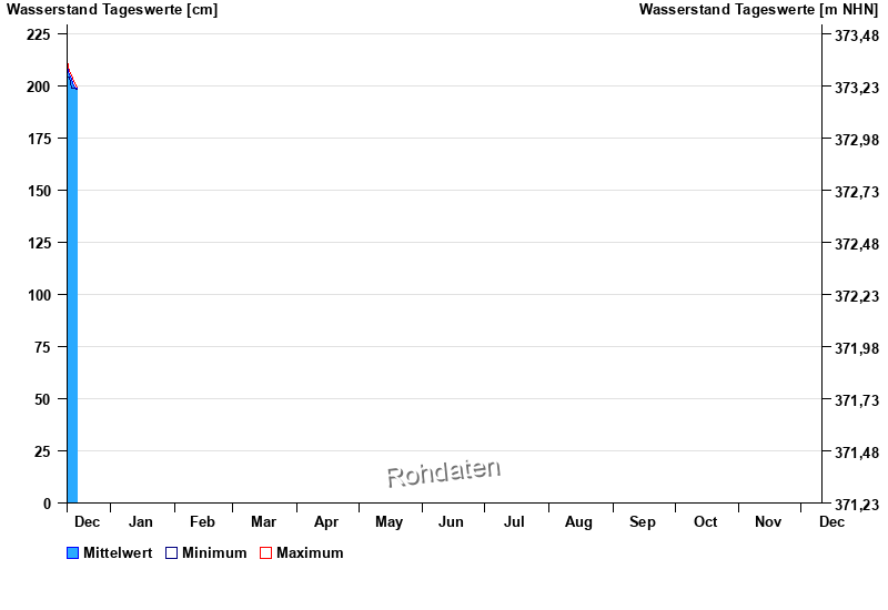
Chart of year Chamerau / Regen
Waterlevel from 11.12.2025 to 10.12.2026
- 13.08.2002 Wasserstand: 681 cm
- 21.12.1993 Wasserstand: 600 cm
- 22.07.1980 Wasserstand: 576 cm
- 01.11.1998 Wasserstand: 556 cm
- 21.03.2002 Wasserstand: 544 cm
| Date | Mean value [cm] | Maximum [cm] | Minimum [cm] |
|---|---|---|---|
| 16.12.2025 | 199 | 199 | 199 |
| 15.12.2025 | 199 | 201 | 199 |
| 14.12.2025 | 200 | 202 | 199 |
| 13.12.2025 | 203 | 205 | 199 |
| 12.12.2025 | 205 | 207 | 204 |
| 11.12.2025 | 209 | 212 | 204 |
© Bayerisches Landesamt für Umwelt 2025