
- Start >
- Rivers >
- Waterlevel >
- Naab - Regen >
- Kastl >
- Chart of month

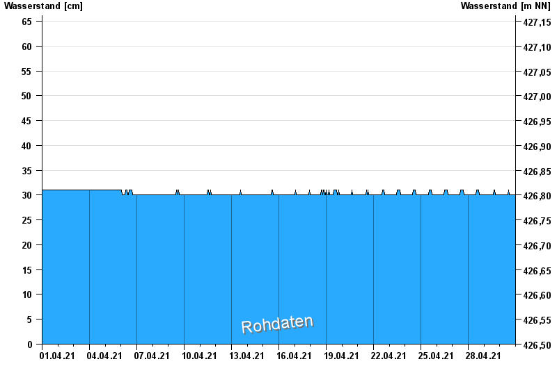
Chart of month Kastl / Lauterach
Waterlevel from 01.04.2021 to 30.04.2021
- 10.02.2009 Wasserstand: 213 cm
- 24.12.2008 Wasserstand: 198 cm
- 13.01.2011 Wasserstand: 125 cm
- 08.12.2008 Wasserstand: 114 cm
- 23.12.2012 Wasserstand: 96 cm
| Date | Waterlevel [cm] |
|---|---|
| 01.05.2021 00:45 | 30 |
| 01.05.2021 00:30 | 30 |
| 01.05.2021 00:15 | 30 |
| 01.05.2021 00:00 | 30 |
| 30.04.2021 23:45 | 30 |
| 30.04.2021 23:30 | 30 |
| 30.04.2021 23:15 | 30 |
© Bayerisches Landesamt für Umwelt 2024