
- Start >
- Rivers >
- Waterlevel >
- Unterer Main >
- Leucherhof >
- Chart of month

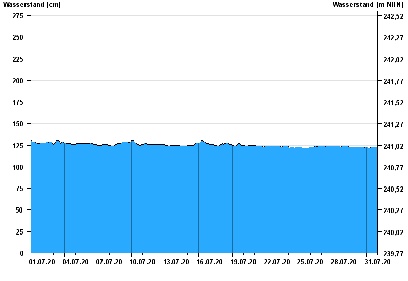
Chart of month Leucherhof / Baunach
Waterlevel from 01.07.2020 to 31.07.2020
- 07.05.1969 Wasserstand: 391 cm
- 23.02.1970 Wasserstand: 378 cm
- 03.01.2003 Wasserstand: 369 cm
- 08.01.2011 Wasserstand: 367 cm
- 23.01.1995 Wasserstand: 366 cm
| Date | Waterlevel [cm] |
|---|---|
| 01.08.2020 00:45 | 123 |
| 01.08.2020 00:30 | 123 |
| 01.08.2020 00:15 | 123 |
| 01.08.2020 00:00 | 123 |
| 31.07.2020 23:45 | 123 |
| 31.07.2020 23:30 | 123 |
| 31.07.2020 23:15 | 123 |
© Bayerisches Landesamt für Umwelt 2024