
- Start >
- Rivers >
- Waterlevel >
- Unterer Main >
- Astheim >
- Chart of year

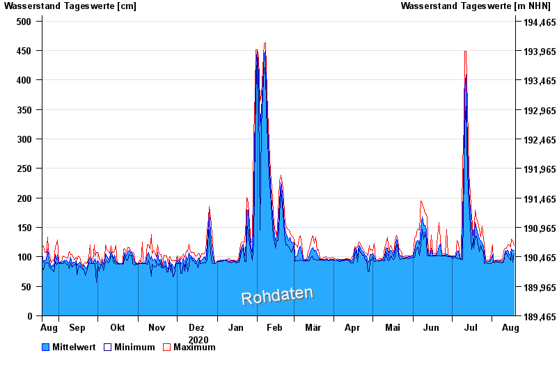
Chart of year Astheim / Main
Waterlevel from 19.08.2020 to 18.08.2021
- 16.01.2011 Wasserstand: 665 cm
- 05.01.2003 Wasserstand: 663 cm
- 25.02.1970 Wasserstand: 627 cm
- 08.01.1982 Wasserstand: 624 cm
- 28.01.1995 Wasserstand: 623 cm
| Date | Mean value [cm] | Maximum [cm] | Minimum [cm] |
|---|---|---|---|
| 18.08.2021 | 111 | 119 | 105 |
| 17.08.2021 | 111 | 128 | 91 |
| 16.08.2021 | 113 | 130 | 108 |
| 15.08.2021 | 106 | 117 | 93 |
| 14.08.2021 | 103 | 120 | 98 |
| 13.08.2021 | 111 | 121 | 100 |
| 12.08.2021 | 110 | 114 | 106 |
© Bayerisches Landesamt für Umwelt 2024