
- Start >
- Rivers >
- Waterlevel >
- Obere Donau >
- Winkl >
- Current values

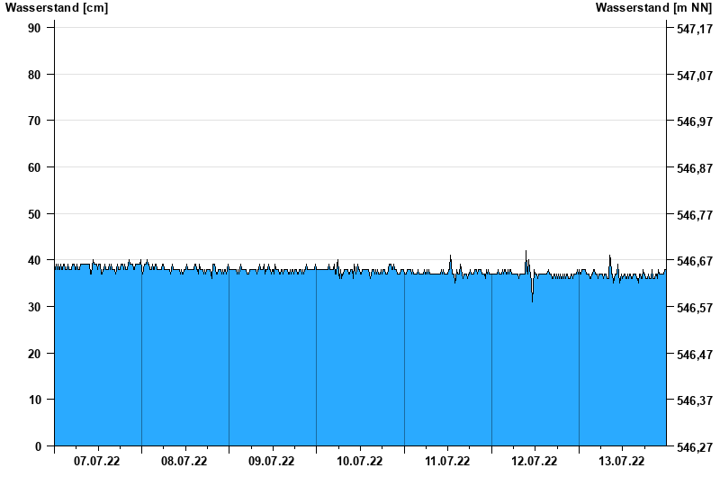
Current values Winkl / Verlorener Bach
Waterlevel from 07.07.2022 to 13.07.2022
note
Messwerte beeinflusst durch Kraftwerkssteuerungen.
- 10.03.2006 Wasserstand: 128 cm
- 06.06.2011 Wasserstand: 127 cm
- 19.05.2002 Wasserstand: 126 cm
- 22.05.1999 Wasserstand: 122 cm
- 06.08.2000 Wasserstand: 111 cm
| Date | Waterlevel [cm] |
|---|---|
| 14.07.2022 00:45 | 37 |
| 14.07.2022 00:30 | 37 |
| 14.07.2022 00:15 | 37 |
| 14.07.2022 00:00 | 37 |
| 13.07.2022 23:45 | 38 |
| 13.07.2022 23:30 | 38 |
| 13.07.2022 23:15 | 37 |
© Bayerisches Landesamt für Umwelt 2024