
- Start >
- Rivers >
- Waterlevel >
- Obere Donau >
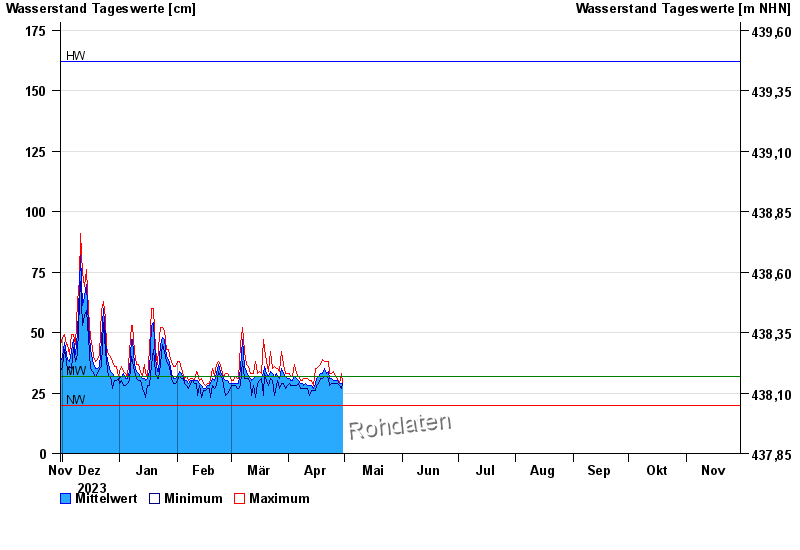
- Achsheim >
- Chart of year

Chart of year Achsheim / Schmutter
Waterlevel from 30.11.2023 to 29.11.2024
| Date | Mean value [cm] | Maximum [cm] | Minimum [cm] |
|---|---|---|---|
| 03.06.2024 | 151 | 157 | 142 |
| 02.06.2024 | 175 | 187 | 153 |
| 01.06.2024 | 121 | 185 | 75 |
| 31.05.2024 | 55 | 78 | 36 |
| 30.05.2024 | 32 | 37 | 29 |
| 29.05.2024 | 32 | 36 | 30 |
| 28.05.2024 | 39 | 43 | 33 |
© Bayerisches Landesamt für Umwelt 2024