
- Start >
- Rivers >
- Waterlevel >
- Isar >
- Weg >
- Current values

Current values Weg / Isen
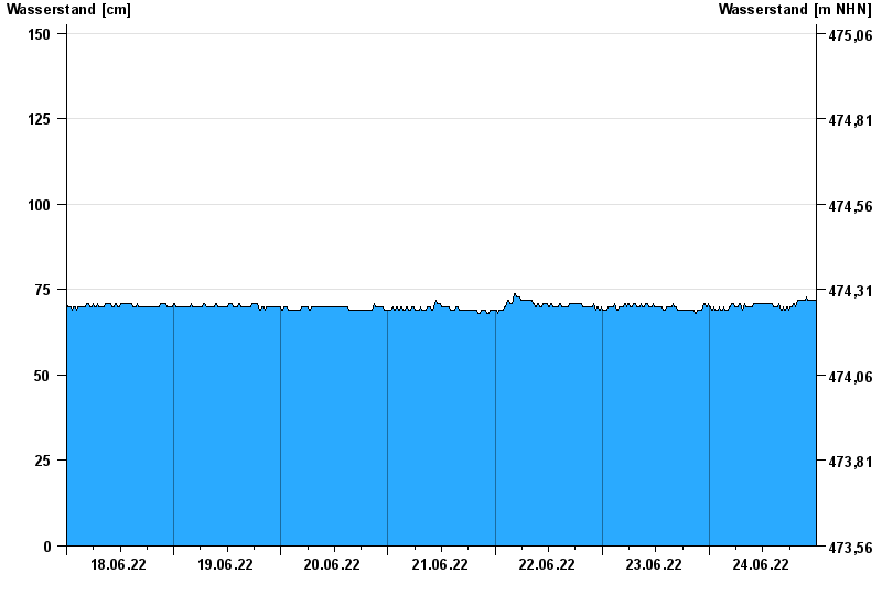
Waterlevel from 18.06.2022 to 24.06.2022
- 22.06.1975 Wasserstand: 375 cm
- 22.08.1977 Wasserstand: 355 cm
- 01.08.1991 Wasserstand: 332 cm
- 04.08.1973 Wasserstand: 332 cm
- 15.02.1990 Wasserstand: 330 cm
| Date | Waterlevel [cm] |
|---|---|
| 25.06.2022 00:45 | 76 |
| 25.06.2022 00:30 | 75 |
| 25.06.2022 00:15 | 74 |
| 25.06.2022 00:00 | 73 |
| 24.06.2022 23:45 | 72 |
| 24.06.2022 23:30 | 72 |
| 24.06.2022 23:15 | 72 |
© Bayerisches Landesamt für Umwelt 2024