
- Start >
- Rivers >
- Waterlevel >
- Isar >
- Unterfinning >
- Chart of year

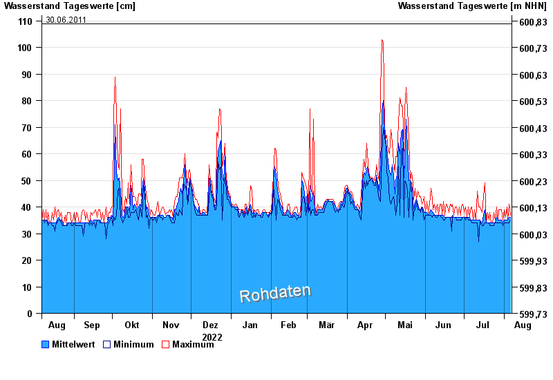
Chart of year Unterfinning / Windach
Waterlevel from 07.08.2022 to 06.08.2023
note
Pegel beeinflusst durch Kraftwerkssteuerung
- 02.06.2013 Wasserstand: 180 cm
- 06.08.2010 Wasserstand: 166 cm
- 03.06.2010 Wasserstand: 159 cm
- 13.01.2011 Wasserstand: 112 cm
- 30.06.2011 Wasserstand: 109 cm
| Date | Mean value [cm] | Maximum [cm] | Minimum [cm] |
|---|---|---|---|
| 06.08.2023 | 36 | 37 | 35 |
| 05.08.2023 | 36 | 41 | 34 |
| 04.08.2023 | 35 | 35 | 34 |
| 03.08.2023 | 35 | 40 | 34 |
| 02.08.2023 | 35 | 36 | 34 |
| 01.08.2023 | 35 | 39 | 34 |
| 31.07.2023 | 34 | 35 | 33 |
© Bayerisches Landesamt für Umwelt 2024