
- Start >
- Rivers >
- Waterlevel >
- Isar >
- Manching (Ort) >
- Chart of year

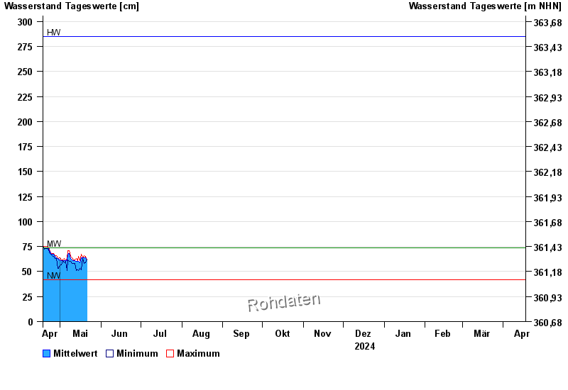
Chart of year Manching (Ort) / Paar
Waterlevel from 18.04.2024 to 17.04.2025
| Date | Mean value [cm] | Maximum [cm] | Minimum [cm] |
|---|---|---|---|
| 07.06.2024 | 169 | 177 | 162 |
| 06.06.2024 | 187 | 204 | 171 |
| 05.06.2024 | 231 | 259 | 204 |
| 04.06.2024 | 293 | 335 | 260 |
| 03.06.2024 | 352 | 360 | 336 |
| 02.06.2024 | 251 | 336 | 183 |
| 01.06.2024 | 132 | 182 | 90 |
© Bayerisches Landesamt für Umwelt 2024